
Surveys will assess health of Okanagan Lake’s shoreline
Recent wildfires make survey results even more important
Lakes need health check-ups, just like people, and Okanagan Lake is due, especially after suffering the additional injuries inflicted by recent wildfires.
Living Lakes Canada, a water stewardship organization, and project co-leads, the Okanagan Indian Band and Westbank First Nation, will work with several partners this month and next summer to survey the lake’s 290 kilometres of shoreline. The survey is a bit like a “physical exam” that involves checking land use, shoreline condition, vegetation, streams, and human-made structures.
Shoreline health and overall lake health are tightly linked, and the result is felt by everyone and everything living on, in and around the lake, explains Georgia Peck, Lakes program manager with Living Lakes Canada.
“Human activity on the shoreline of a lake can dramatically impact not only the water quality of a lake, but the fish, birds and other animals that live in and around the lake, too,” she said. “Okanagan Lake is a source of drinking water for about 200,000 people, as well as a major tourist attraction driving significant economic activity, so it’s in everyone’s interest to keep this lake clean, healthy and thriving. The recent wildfires damaged portions of the lake’s watershed, which will impact the quality and quantity of water flowing into the lake, so the need to protect Okanagan Lake from additional impacts is even more urgent.”
In late July and early August, the lake’s watershed and portions of its shoreline were burned by two major wildfires, the Bradley Creek wildfire on Okanagan Indian Band land and the Bald Range wildfire near Summerland. The survey will reflect some impacts, though the area being examined is limited to what’s called the foreshore, or the transition zone between aquatic and terrestrial lake environments.
The survey work was postponed from the original schedule of early August to the end of September pending consultation with project co-leads, the Okanagan Indian Band. The project is only proceeding this year based on their agreement.
This work will build off of the 2016 re-assessment of Okanagan Lake, making this the fourth time the lake has been surveyed (2005, 2011, 2016, 2026-2028). The resurvey 10 years ago showed 4.1 km of the natural Okanagan Lake shoreline was lost or permanently altered since the previous survey.
“Resurveying Okanagan Lake is critical for tracking changes in shoreline condition, habitat sensitivity, and development pressure since the original shoreline assessment,” said Peck. “Updated data will enable Indigenous Nations, local governments, and watershed partners to make informed, climate-resilient management decisions, identify priority areas for restoration and conservation, and strengthen the long-term protection of one of British Columbia’s most important freshwater ecosystems.”
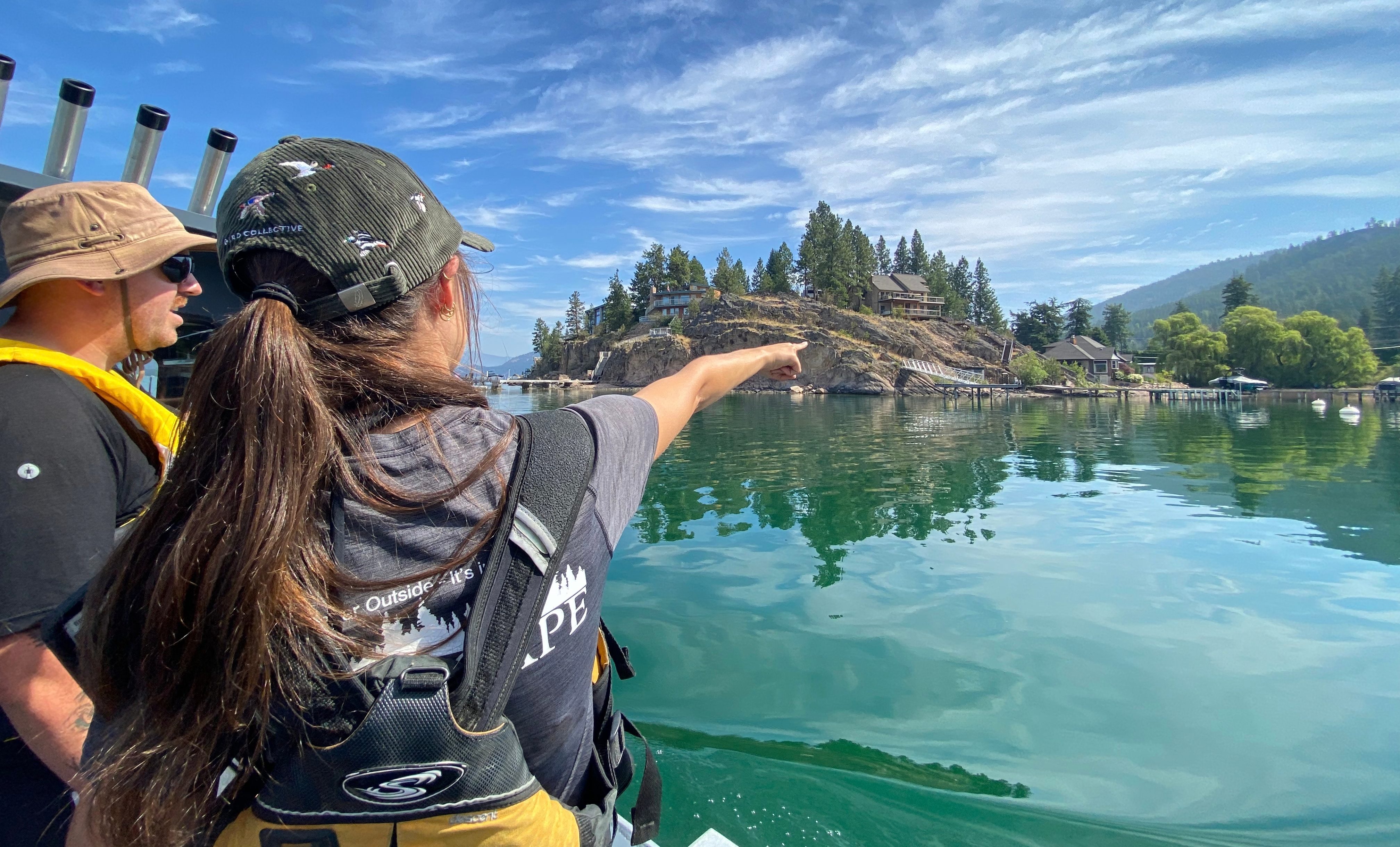
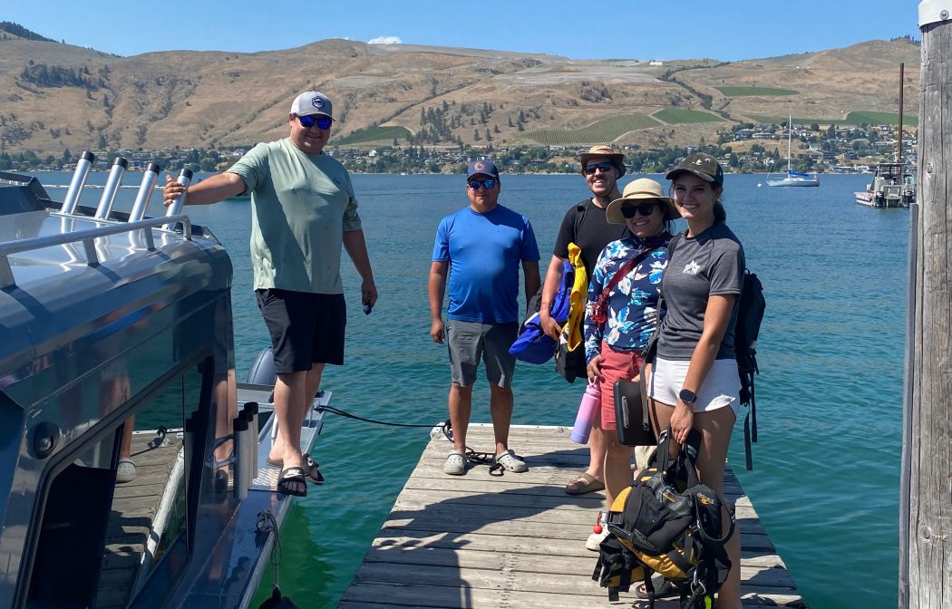
A field assessment will take place September 21 to October 2 and will include a field team circling the northern and central portions of the lake by boat to survey important habitats and ecologically sensitive zones, as well as to tally developments and modifications including, but not limited to, docks, structures, retaining walls and mooring buoys. The work in summer 2027 is anticipated to involve boat surveys and drone work. In spring 2028, the project will deliver a lake-wide FIMP report, Foreshore Development Guidelines, an interactive map tool, and drone footage of the lake foreshore. These products, when consulted during land-use planning, can help protect and enhance lake biodiversity.
Indigenous participation is an essential and integral part of the Living Lakes survey process. The first phase of the project is co-led by Westbank First Nation and Okanagan Indian Band, both of whom are also contributing financially to project delivery. Building on this collaborative approach, Living Lakes Canada is seeking to work with local communities to co-develop and lead the second phase of the project to be conducted in the southern portion of Okanagan Lake next summer.
Living Lakes uses the Foreshore Integrated Management Planning (FIMP) process to conduct the shoreline assessments. FIMP is a standardized mapping and assessment framework used by environmental agencies, First Nations, and all three levels of government to evaluate the ecological health of lakeshores and guide sustainable development.
– 30 –
About Living Lakes Canada
Living Lakes Canada is an award-winning water science and stewardship non-governmental organization based in the B.C. Columbia Basin that facilitates collaboration in monitoring, restoration, and policy development initiatives for the long-term protection of Canada’s lakes, rivers, wetlands and watersheds. Visit https://livinglakescanada.ca/ for more information.
Contact
Hanneke Brooymans
Communications Team Lead
587-336-4396
hanneke.brooymans@livinglakescanada.ca