

CURRENT PROJECTS
FIMP Cultural and Archaeological Survey of Wood and Kalamalka Lakes
We acknowledge this project is taking place on the traditional, ancestral, and unceded territory of the Syilx Okanagan people.
Since time immemorial, Okanagan lake foreshores have supported lake biodiversity and surrounding communities, and are currently threatened by human interference and resulting climate change. In partnership and collaboration with local Indigenous communities, stewardship groups, and regional and provincial governments, the Okanagan Indian Band (OKIB) and Living Lakes Canada will guide cumulative impact assessments on the foreshores of Wood and Kalamalka Lakes from 2025 to 2026. Weaving Indigenous Knowledge and Western science, this project will support the inventory, assessment, and mapping of cultural, archaeological, and ecological foreshore values of these critically important lakes.
This project is funded in part by the BC Conservation Foundation, Central Okanagan Foundation, Friends of Kalamalka Lake Provincial Park, Kal Tire, Okanagan Basin Water Board, Foord Family Foundation, District of Coldstream, and District of Lake Country, Max Bell Foundation, and BEEM Credit Union.

Francois Lake FIMP
We acknowledge this project is taking place on the traditional, ancestral and unceded territory of the Wet’suwet’en First Nation, Nadleh Whut’en First Nation, Stellat’en First Nation, Ts'il Kaz Koh First Nation, Nee Tahi Buhn Band, Skin Tyee First Nation, and Cheslatta Carrier Nation.
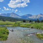
Over 110 km long, Francois Lake is the second longest lake in British Columbia. The lake is fed by the Nadina River from the west end and drains into the Stellako River at the east end. Francois Lake is found within the Bulkley Basin Ecosection and provides critical habitat, including riparian zones, to many freshwater aquatic and terrestrial species. Francois Lake has been identified as the priority waterbody to be surveyed following partner engagement and discussions related to the Nechako Watershed Roundtable’s Large Lakes Monitoring Strategy. Living Lakes led a FIMP survey on Francois Lake in summer of 2025.
This project is funded by the Canada Water Agency’s Fraser River Freshwater Ecosystem Initiative.

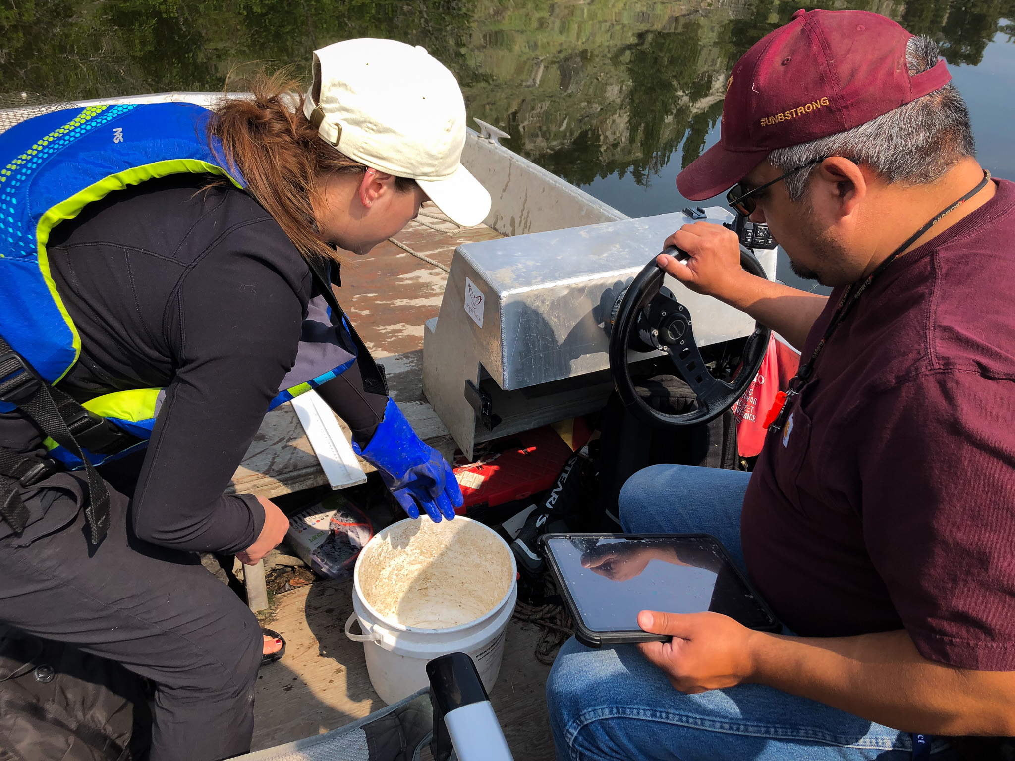
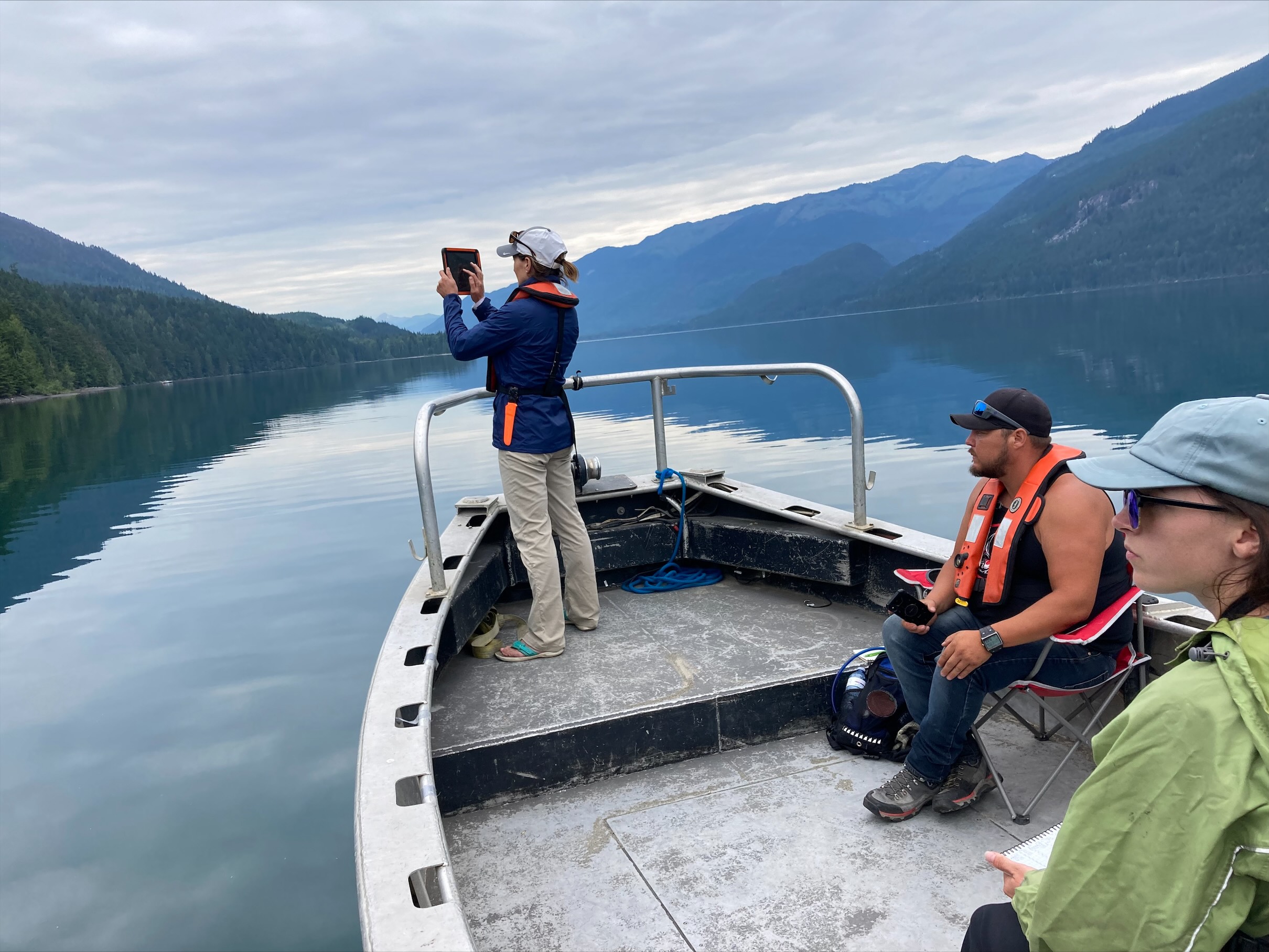
FIMP survey in July 2025 with Lotic Environmental, Ecoscape Environmental, and members of Ts'il Kaz Koh and Stellat'en First Nation.
Upper Columbia Basin FIMP for Aquatic Species at Risk
In 2019, Living Lakes Canada entered into a contribution agreement with Fisheries and Oceans Canada to survey and/or re-survey priority lakes in the Columbia Basin containing federally designated aquatic Species at Risk. This report outlines the survey outcomes and resulting recommendations for each lake, and includes a discussion on the impact trends occurring with key takeaways highlighted.
FIMP Indigenous Knowledge and Values Framework
We acknowledge this project is taking place on the traditional, ancestral and unceded territory of the Nlaka’pamux and Syilx people.
In 2021, Living Lakes Canada launched the FIMP Indigenous Knowledge and Values Framework pilot project in partnership with the Upper Nicola Band in the South Central Interior of British Columbia and Sustainability Scholars from the University of British Columbia, with primary funding being provided by the Real Estate Foundation of BC. The goal of this project was to identify opportunities within the lake survey protocol to better acknowledge Indigenous Knowledge and cultural values, informing decision making and promoting more balanced, sustainable, and ethical development as the growing climate crisis continues to threaten the health of freshwater.
The FIMP Indigenous Knowledge and Values Framework was applied and assessed for its effectiveness during a FIMP re-survey of Nicola Lake in the summer of 2023. The results of this test have and will continue to be shared with partners and community members, through reports, presentations, and various community outreach initiatives. Following its success, Living Lakes Canada and the Okanagan Indian Band will be using this Framework to guide the 2025 survey of Wood and Kalamalka Lakes.
Living Lakes Canada looks to our Indigenous partners — whose values and knowledge of water and the interconnection between land and species have formed over generations of living symbiotically — to help guide the current FIMP surveys. The FIMP Indigenous Knowledge and Values Framework provides practical, actionable direction to structure this process. The goal of the project is to gain a better understanding of foreshore-related impacts and the importance of holistic lake management while building on our connection to local communities.
This project serves as an example of how applied Indigenous Knowledge may be revered as an essential aspect of environmental conservation initiatives. Highlighting the importance of recognizing Indigenous Knowledge and values is also a progressive step towards Reconciliation with B.C. First Nations as supported by the BC United Nations Declaration on the Rights of Indigenous People Act (2019).
COMPLETED PROJECTS
Douglas Lake FIMP 2025
Fraser Lake re-FIMP 2023
Nicola Lake re-FIMP 2023
Upper Columbia Basin FIMP for Aquatic Species at Risk 2019-2023
MORE BACKGROUND
FIMP has been applied to 17 lakes across the Columbia Basin since 2006:
- 2022 Arrow Lakes
- 2022 Trout Lake
- 2022 St Mary Lake
- 2021 Columbia Lake
- 2021 Kootenay Lake
- 2020 Lake Windermere
- 2020 Moyie Lake
- 2020 Slocan Lake
- 2020 Whitetail Lake
- 2020 Whiteswan Lake
- 2017 Brilliant Headpond
- 2016 Lake Koocanusa (transboundary reservoir)
- 2012 Tie Lake
- 2010 Jimsmith Lake
- 2010 Rosen Lake
- 2010 Wasa Lake
- 2009 Monroe Lake
You can access the lake reports for all the above-listed lakes on the Columbia Basin Water Hub.
Living Lakes Canada has also expanded FIMP work beyond British Columbia, leading projects for Lac la Biche in Alberta and the South Basin of Lake Winnipeg.
FIMP AND CLIMATE CHANGE
Climate change is a global concern as increasing temperatures and shifted precipitation patterns have led to an increase in hazardous events such as drought, flooding, and wildfire. Following four years of updating and field-testing the FIMP methodology, Living Lakes Canada has recognized a knowledge gap in connecting foreshore values with climate change impacts. With climate change and increasing foreshore development pressure, the foreshore ecological, social, cultural, and economic values are being threatened. FIMP provides a snapshot of the current lake foreshore conditions, which helps to understand the foreshore values. However, in response to the threat of both tangible and intangible losses caused by climate change in the future, long-term monitoring, better foreshore development and management strategies, and more public engagement are essential.
CONTACT
If you would like to learn more about this program contact us at fimp@livinglakescanada.ca.

News and Updates
Natural shorelines going in opposite directions for 2 Okanagan lakes – Kelowna Capital News, Jun 19 2026
François Lake shoreline still in good condition, but requires protection – Prince George Daily News, Jun 19 2026
Summer survey will assess the health of Lac La Biche’s shoreline – Living Lakes Canada, Jun 17 2026
Stewarding lakes through collaboration and trust – E-KNOW.ca, Jun 13 2026
Reassessing the shoreline, reconnecting with place – LakeLine 46-1: Volunteer Monitoring, Spring 2026
Request for Proposals: Lac La Biche inventory using FIMP methodology – Living Lakes Canada, Mar 2 2026
Resources
- Foreshore Integrated Management Planning for Aquatic Species at Risk in the Upper Columbia Basin 2019-2023
- FIMP Indigenous Knowledge and Values Framework Final Report 2023
- CBWM Film Series: Foreshore Integrated Management Planning
- All FIMP Reports & Foreshore Development Guidelines - Columbia Basin Water Hub
- Drone Use with FIMP Handout
- Community-based water monitoring: data use cases in British Columbia to support planning and decision making
- Foreshore Integrated Management Planning Methods: Foreshore Inventory and Mapping Foreshore Habitat Sensitivity Index Foreshore Development Guide (2021)
Funders & Contributors
 |
|
 |
 |
 |
 |
 |
 |
 |
 |
 |
 |
 |
 |
 |
 |
 |
