
PROGRAM GOAL
The goal of this program is to work with local partners and communities to develop and support the implementation of a comprehensive, process-based restoration plan for the Columbia Wetlands. This framework focuses on restoring the natural processes that sustain floodplains and wetland habitat for fish and wildlife, while also supporting the ecosystem services these wetlands provide to neighbouring and downstream communities.
OVERVIEW
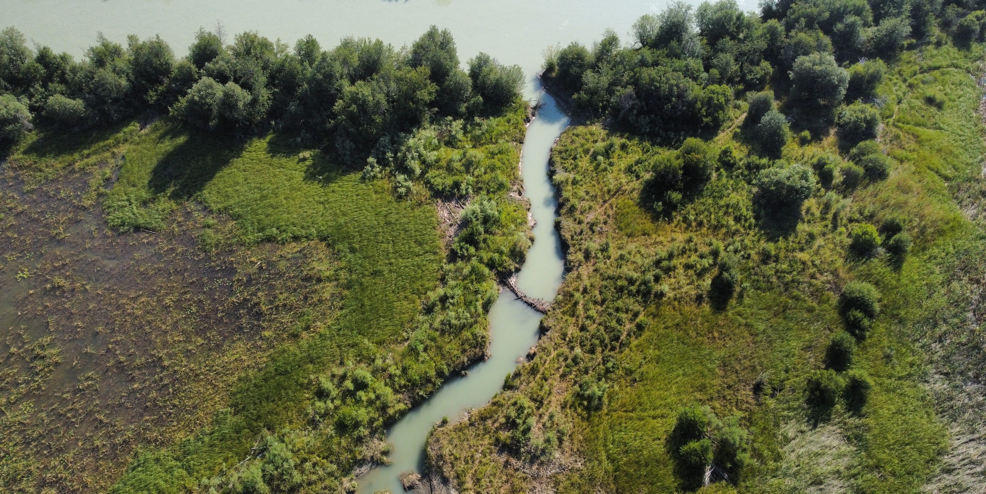
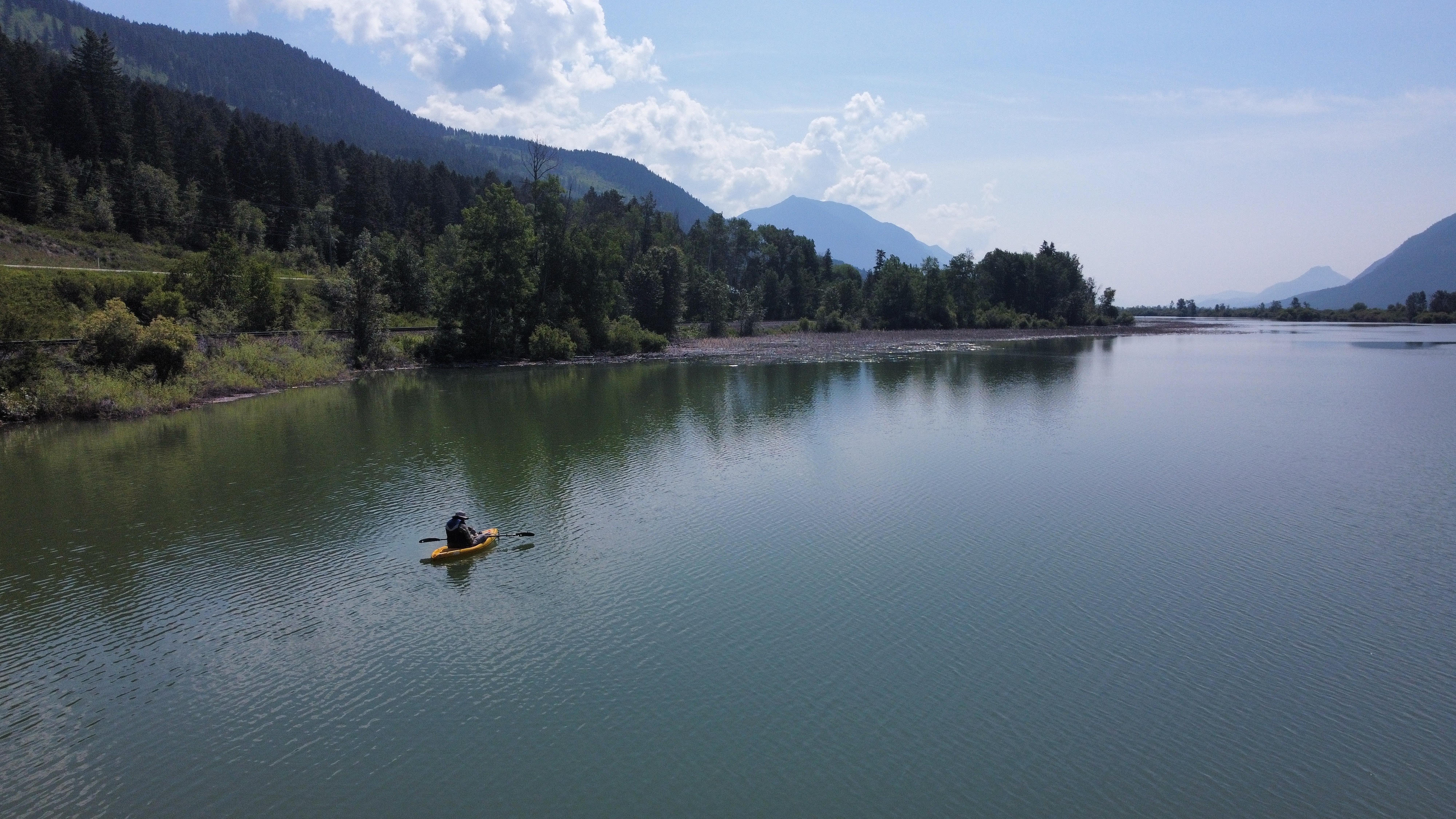
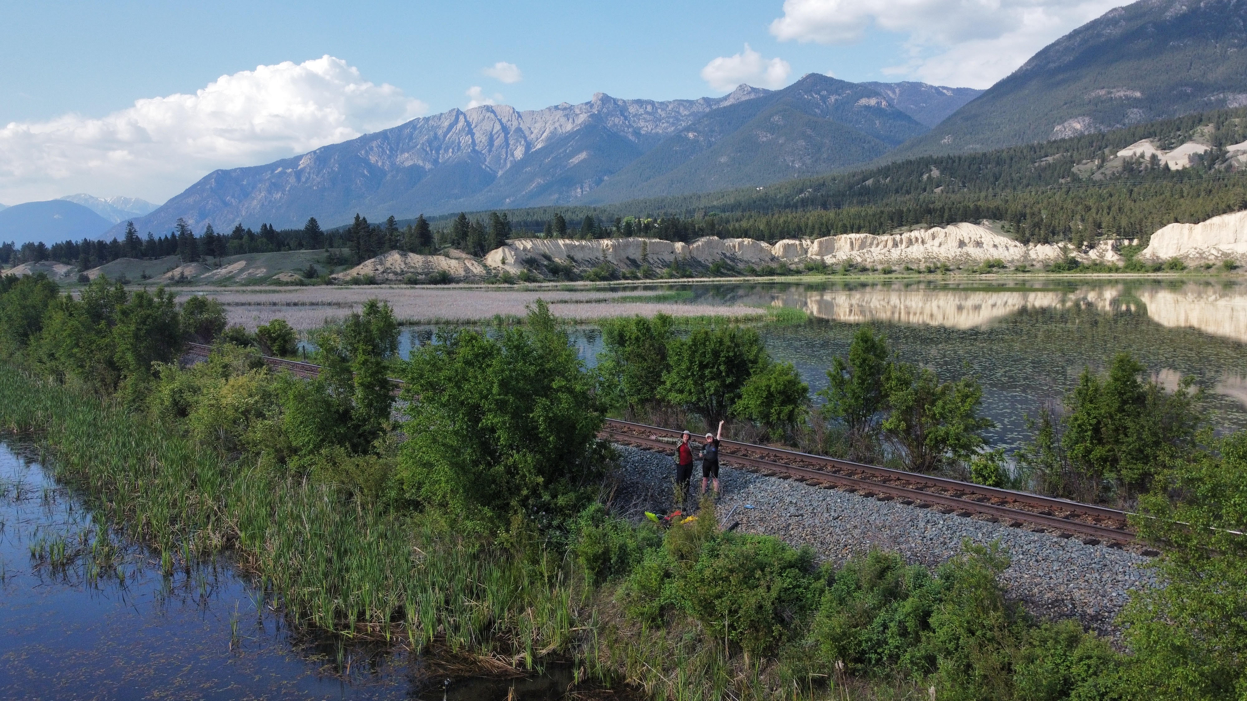
The Columbia Wetlands in southeastern British Columbia are among North America’s longest, intact wetlands systems and contain the only undammed section of the 2,000-kilometre-long transboundary Columbia River. These 26,000-hectare, Ramsar-designated wetlands of international importance are also vulnerable to climate change.
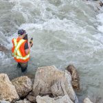
Research carried out by the Columbia Wetlands Stewardship Partners shows that the wetlands are losing permanent open-water habitat. Hydrological changes, legacy infrastructure such as old bridge pilings and wing dams, and climate change threaten the continued vitality of the wetlands.
Living Lakes Canada is leading an initiative to restore natural floodplain processes that help protect this unique ecosystem and its role as a climate refugia.
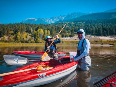
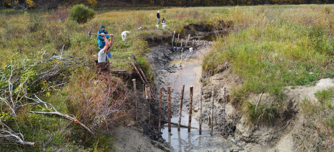
In the short-term, low-tech restoration strategies such as the construction of Beaver Dam Analogues and Post-Assisted Log Structures are being implemented to help store water on the landscape to mitigate drought and enhance biodiversity.
PROJECT PARTNERS
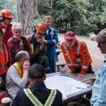
Engaging local partners, including First Nations governments, land managers, and communities, is key to co-developing long-term strategies for restoration and monitoring programs.
BACKGROUND
As part of the Pacific Flyway, one of North America’s four major migratory routes, the mosaic of wetland types within the Columbia Wetlands provides a safe haven for over 160 species of migratory birds including at-risk Tundra Swans. This invaluable ecosystem also provides a multitude of benefits to surrounding communities, including flood control, groundwater recharge, irrigation needs, water purification, and carbon storage.
The Columbia Wetlands is a remarkably productive and biodiverse ecosystem characterized by the seasonal flooding of the Upper Columbia River. Because this section of the river from Canal Flats to Mica Dam north of Golden is free-flowing, the seasonal flood regime generates the annual ‘pulse’ of this ecosystem.
Despite their critical importance, approximately 40% of this pristine floodplain remains unprotected. Vulnerable to climate change impacts, ongoing research shows that the Columbia Wetlands are drying.
Some areas have lost over 16% of their permanent open water area in the last decade. Changes in the river flows and seasonal flooding, along with human development in the valley, are limiting how the river connects with its floodplain and supports healthy wetlands.
As an active member of the Columbia Wetlands Stewardship Partners, Living Lakes is supporting restoration activities at various spatial and temporal scales within this system.
CONTACT
Paige Thurston, Restoration Program Manager
restoration@livinglakescanada.ca
Banner photo by Columbia Wetlands Stewardship Partners.
News and Updates
Over 140 organisations, experts call for bolder action on water and wetlands at COP16 – WWF, Oct 25 2024
Building beaver dams to help restore B.C.’s drying Columbia Wetlands – The Weather Network, Feb 4 2024
Columbia Wetlands drying up – CBC Vancouver News, Jan 27 2024
‘Playing beaver’ in drying of the wetlands – Columbia Valley Pioneer (pg. 14), Nov 23 2023
Shining a spotlight on a Canadian star for World Wetlands Day – Living Lakes Canada, June 25 2023
New restoration program focusing on fish passage, Columbia Wetlands – Living Lakes Canada, Jun 25 2021
Resources
Funders & Contributors
 |
 |
 |
