

PROGRAM GOAL
The goal of the Oldman Watershed Groundwater Program is to build a large-scale pilot project that will serve as a template to develop a provincial framework for monitoring priority groundwater aquifers, identified by the private sector and the Provincial Government.
The objectives of the Program are to:
- Apply innovative geophysical technology to rapidly and cost-effectively map sub-surface structure, specifically targeting potential unconsolidated aquifers in both flat agricultural lands as well as in more mountainous terrain of the headwaters for Alberta and parts of Eastern BC.
- Identify and monitor priority groundwater aquifers through an aquifer vulnerability assessment, data gap analysis, and community input. Data will be made publicly accessible on an open data portal to support sustainable groundwater management.
- Engage local communities in data collection and increase knowledge and awareness about groundwater.
LOCAL REFERENCE GROUP: 2025 ENGAGEMENT REPORT
Through three community meetings and a survey, residents across the Oldman watershed were invited to participate in the Local Reference Group to help inform site selection for groundwater monitoring wells. The engagement report captures community concerns and priorities and outlines the next steps in the program.
WHERE ARE WE MAPPING AND MONITORING?
The pilot will take place in the Oldman Watershed located in southern Alberta. The Oldman Watershed is one of three drought-stricken sub-basins that participated in Alberta’s 2024 water-sharing agreements in an effort to reduce water consumption in the face of prolonged drought conditions.
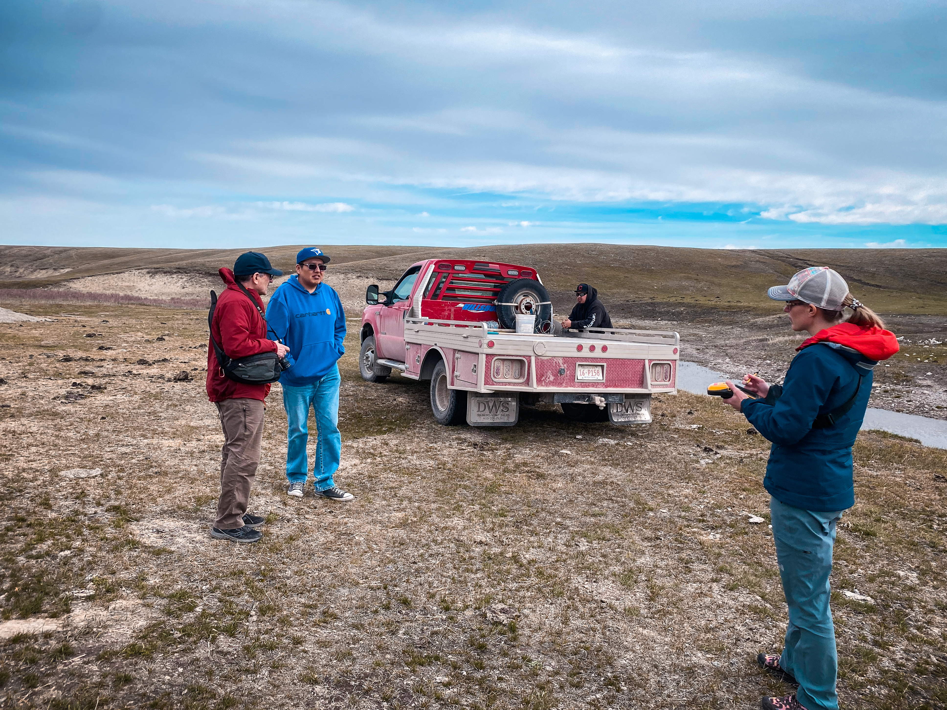
The program will establish three community cluster areas, each hosting three Volunteer Observation Wells. One of these areas is confirmed to be on Piikani Nation lands, where mapping has already been conducted to assess subsurface conditions. The remaining two cluster areas will be identified through a combination of scientific analysis and community input, ensuring both data-driven decisions and local priorities shape the project.
Once the additional areas are selected, mapping will be performed around these locations to gather detailed subsurface data, which will inform groundwater management strategies and support sustainable water use in the region.
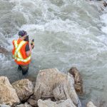
HOW ARE WE MAPPING?
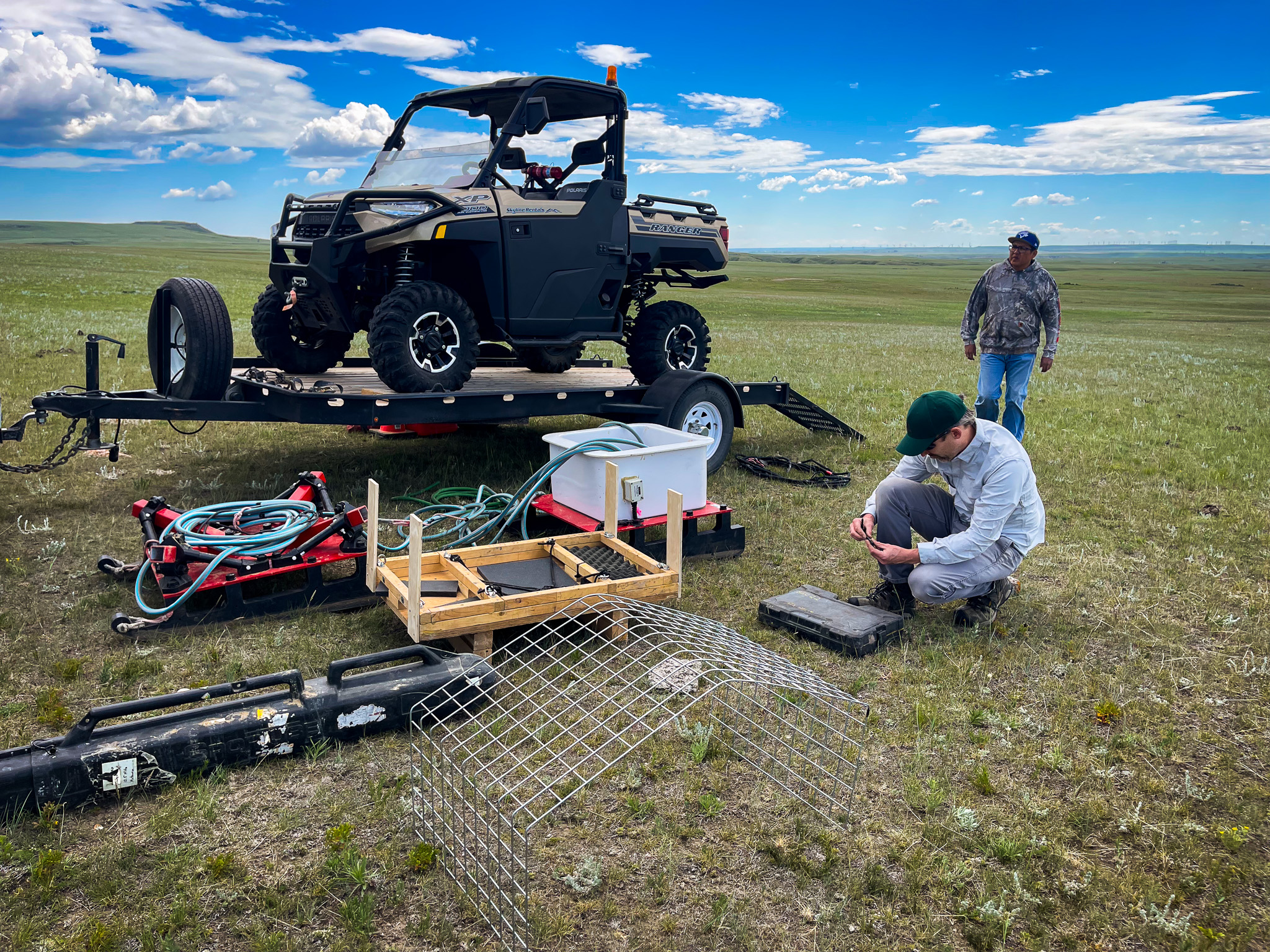
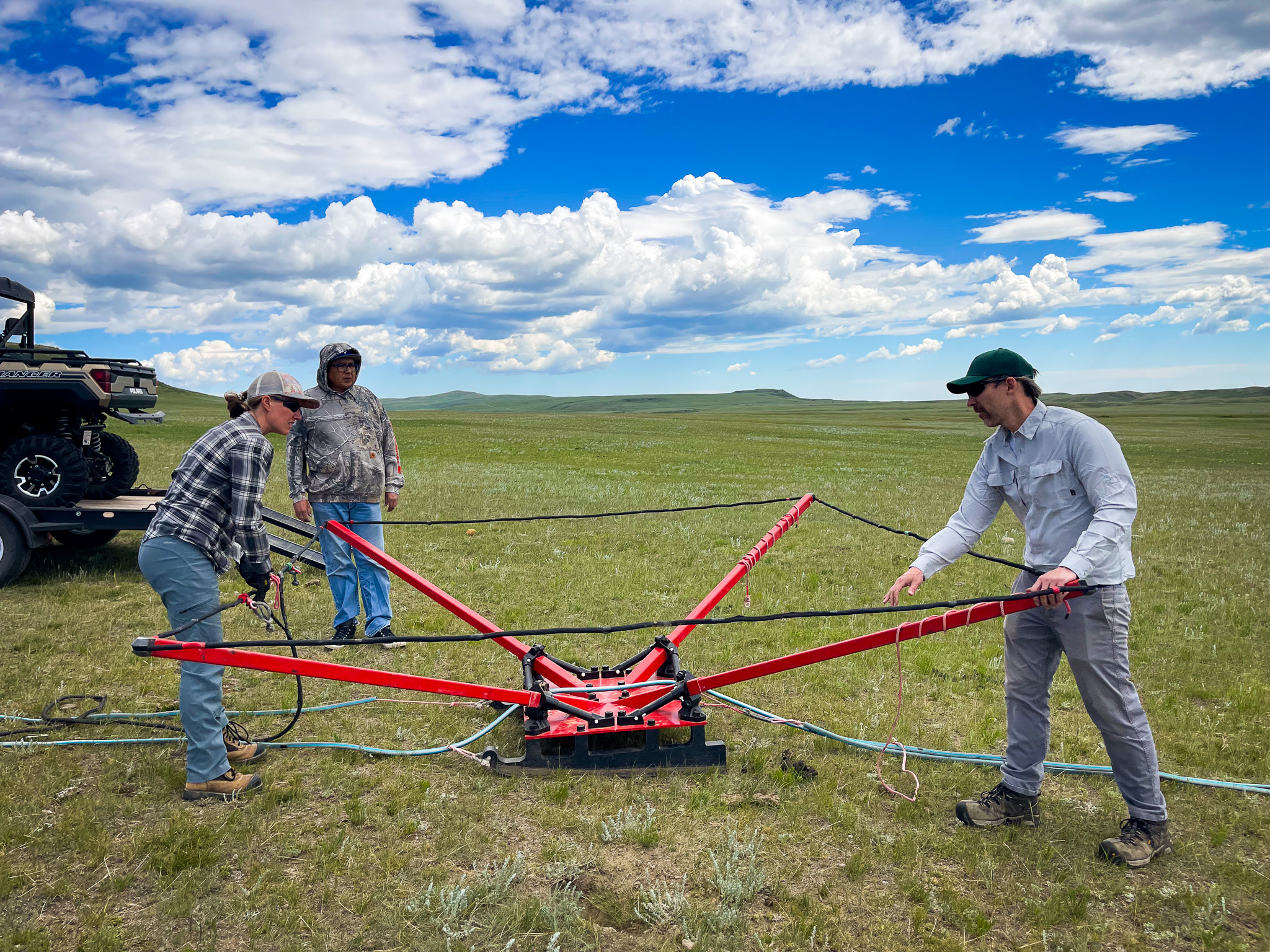
The Towed-Transient Electromagnetics (tTEM) system uses an alternating electromagnetic field to induce current in the ground, and then measures the decay of the current. These one-dimensional soundings can then be used to model the electrical resistivity of the sub-surface with depth wherever a measurement is taken.
The tTEM can collect ~50,000 sounding points per day, resulting in a cross-section of electrical resistivity to a depth of approximately 100 metres and a distance of up to ~60 kilometres (or as far as a quad or snowmobile can drive in a day).
This system is cost-effective for scanning large areas on the ground, providing detailed images similar to airborne surveys, but with much higher image resolution. In regions with electrically resistive sand and gravel aquifers (characteristic of most unconsolidated aquifers in Alberta), tTEM will serve as a rapid aquifer locator and mapper.
This proven technology has already been used for a similar application in both Denmark and California and has also been referenced in a large number of peer-reviewed scientific papers.
WHY MONITOR GROUNDWATER?
In Alberta, groundwater serves as a vital pillar supporting agricultural production, supplying drinking water supply for Indigenous and non-Indigenous communities, and upholding ecosystem functions, which in turn support communities’ well-being. Many communities are moving to groundwater supply as surface water sources become increasingly unreliable and even disappear.
Increasing water security concerns from climate scientists, watershed groups, and communities about declining groundwater levels amidst prolonged drought conditions highlight the need to understand this freshwater source.
As water scarcity escalates in Western Canada, there’s a critical need for adaptive management planning. Unfortunately, adequate data to inform this approach is lacking, resulting in water allocation decisions based on inaccurate models using outdated data. Addressing this issue is paramount, especially as climate change accelerates.
The tTEM data collected through the Oldman Watershed Groundwater Program will provide a missing layer of information to decision makers faced with water allocation choices.
MAJOR PARTIES INVOLVED
Living Lakes Canada: This collaborative effort is founded on the success of Living Lakes Canada’s seven-year community-based Columbia Basin Groundwater Monitoring Program and 30 years of expertise in community engagement.
BGC Engineering: BGC Engineering was the first to pioneer the Towed-Transient Electromagnetic (tTEM) system in Canada and now regularly deploys this technology to map sub-surface geological structure across North America.
Piikani Nation Lands Department: In coordination with the Piikani Nation Lands Department, Living Lakes facilitated a tTEM land survey led by BGC Engineering and is outfitting three groundwater volunteer observation wells on Piikani Nation land.
Oldman Watershed Council: The Oldman Watershed Council (OWC) will facilitate collaborations with First Nation groups, private landowners, government, and other stakeholders in order to carry out the scope of this project in Southern Alberta. The OWC will coordinate on-the-ground monitoring as well as facilitate connections between the partnering organizations.
Opus Petroleum Engineering Ltd.: Opus Petroleum Engineering has been contracted by Living Lakes to perform the Aquifer Vulnerability Assessment and Data Gap Analysis for the early phase of the project. They are also one of the main technical advisors to the project.
CONTACT
If you would like to learn more about this program contact us at groundwater@livinglakescanada.ca.

News and Updates
Southern Alberta residents speak up about groundwater concerns in new report – Environment Journal, Aug 21 2025
Public feedback sought into Alberta’s water concerns – Ground Water Canada, Apr 9 2025
Groundwater projects to inform communities, protect water and ecosystems – CTV News Calgary, Aug 22 2024
Mapping the future for ground water monitoring – Macleod Gazette, Aug 2 2024
Resources
- Local Reference Group: 2025 Engagement Report
- Groundwater 101: Understanding Groundwater and Why it Matters
- Groundwater and Agriculture in the Columbia Basin Webinar
- Southwest Alberta Groundwater Project Launch Webinar
Funders & Contributors
 |
 |
 |
 |
 |