Navigating drought with data: The power of community-based water monitoring
The stewardship work taking place in this story is on the traditional, ancestral, and unceded tm̓xʷúlaʔxʷ (land) of the Syilx Okanagan people, though community based water monitoring takes place in the traditional territories of Indigenous Peoples across what is now known as Canada.
From the eastern tip of St. John’s to the shores of Lake Superior and extending to the western reaches of Prince George and the B.C. coast, the latest update from Agriculture and Agri-food Canada paints a stark picture of country-wide drought conditions. As of January 31, an alarming 70% of Canada is abnormally dry, with extreme and exceptional drought hotspots, including southern Alberta, the Northwest Territories, and northern B.C.
Zeroing in on the west coast, the BC River Forecast Centre’s snow survey update on February 8 revealed that the province-wide snowpack remains very low, averaging a concerning 39% below normal (compared to 21% this time last year). Reduced snowpacks threaten freshwater availability critical for agriculture, communities, and ecosystem health.
Snowpacks serve as a natural reservoir, gradually releasing water into rivers, streams, wetlands, lakes and groundwater during the spring snowmelt. A thinner snowpack foreshadows a likely drought again this summer. However, drought impacts will vary between watersheds and regions, underscoring the pressing need for locally specific data, and knowledge to inform data-driven decision-making around climate adaptation and water stewardship.
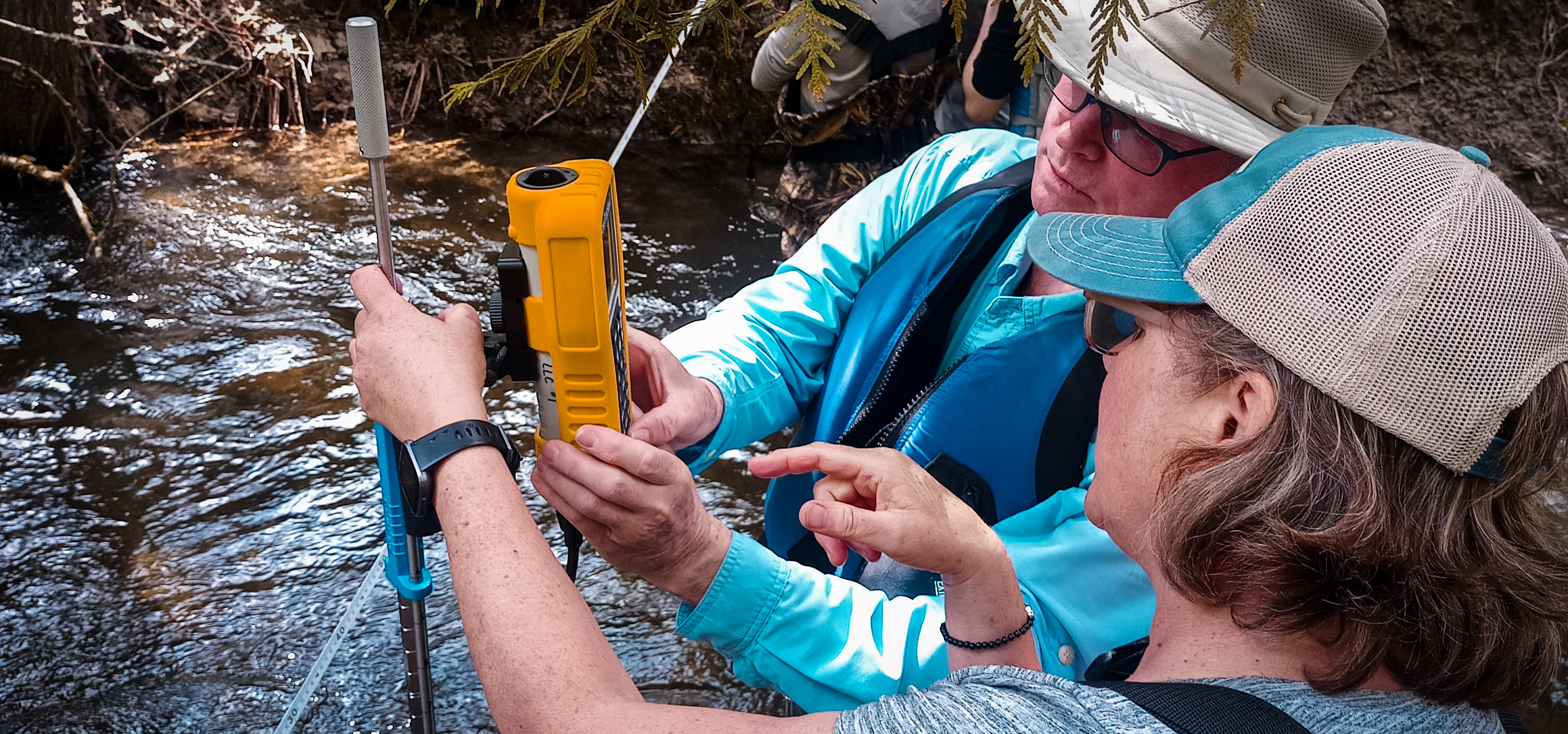
This is where community-based water monitoring (CBWM) steps in. Community-based water monitoring refers to local communities actively participating in collecting data on water quality and quantity, empowering them to contribute to the management and conservation of water resources. Leaders in CBWM include First Nations governments, Indigenous-led organizations, water stewardship non-profits, local governments, and regional water boards.
“CBWM plays a crucial role in connecting communities to watershed-related planning, decision making, stewardship and research. Community-led watershed monitoring of many kinds produces data of similar quality to data collected by governments or the private sector,” said Ian Sharpe. Sharpe is an environmental consultant and retired aquatic biologist who worked for B.C.’s Ministry of Environment for 25 years. He is also the co-author of Living Lakes Canada’s recently released report featuring five compelling CBWM case studies from across B.C.
“Sharing success stories is vital to raising the profile of valuable, cost-effective CBWM projects to help support watershed security efforts.”
Let’s dive into one example of a successful CBWM initiative in the heart of the Okanagan Basin.
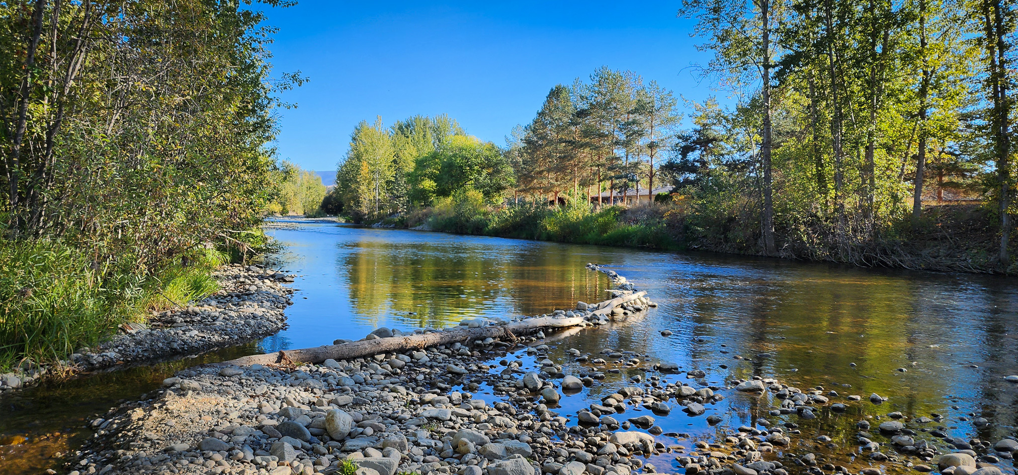
Nestled in B.C.’s Southern Interior, the Okanagan is renowned for its picturesque lakes and hot and semi-arid climate. It’s also prone to drought and extreme wildfires. Monitoring siwɬkʷ (“water” in the nsyilxcəәn language) in this region is increasingly crucial for both communities and ecosystems. This is especially true for the salmon and trout that swim through the rivers and streams in this watershed.
In 2016, the Syilx Okanagan Nation Alliance, the Okanagan Basin Water Board (OBWB), and the B.C. Government initiated the Okanagan Environmental Flow Needs Project with the aim to understand Critical Environmental Flow Thresholds (CEFT) and Environmental Flow Needs (EFN) for streams in the region. The CEFT and EFN are respectively the minimum and optimal stream flows required for fish and healthy aquatic ecosystems.
However, there was a need for more location-specific and current hydrometric data. According to a 2008 report, the 25 stations operated by Water Survey of Canada at that time were insufficient to address both existing and future needs for water management. In response, the Okanagan Hydrometric Information Network Program was initiated and led by Dr. Nelson Jatel, OBWB Water Stewardship Director, to expand the number of stations and improve data access to existing ones.
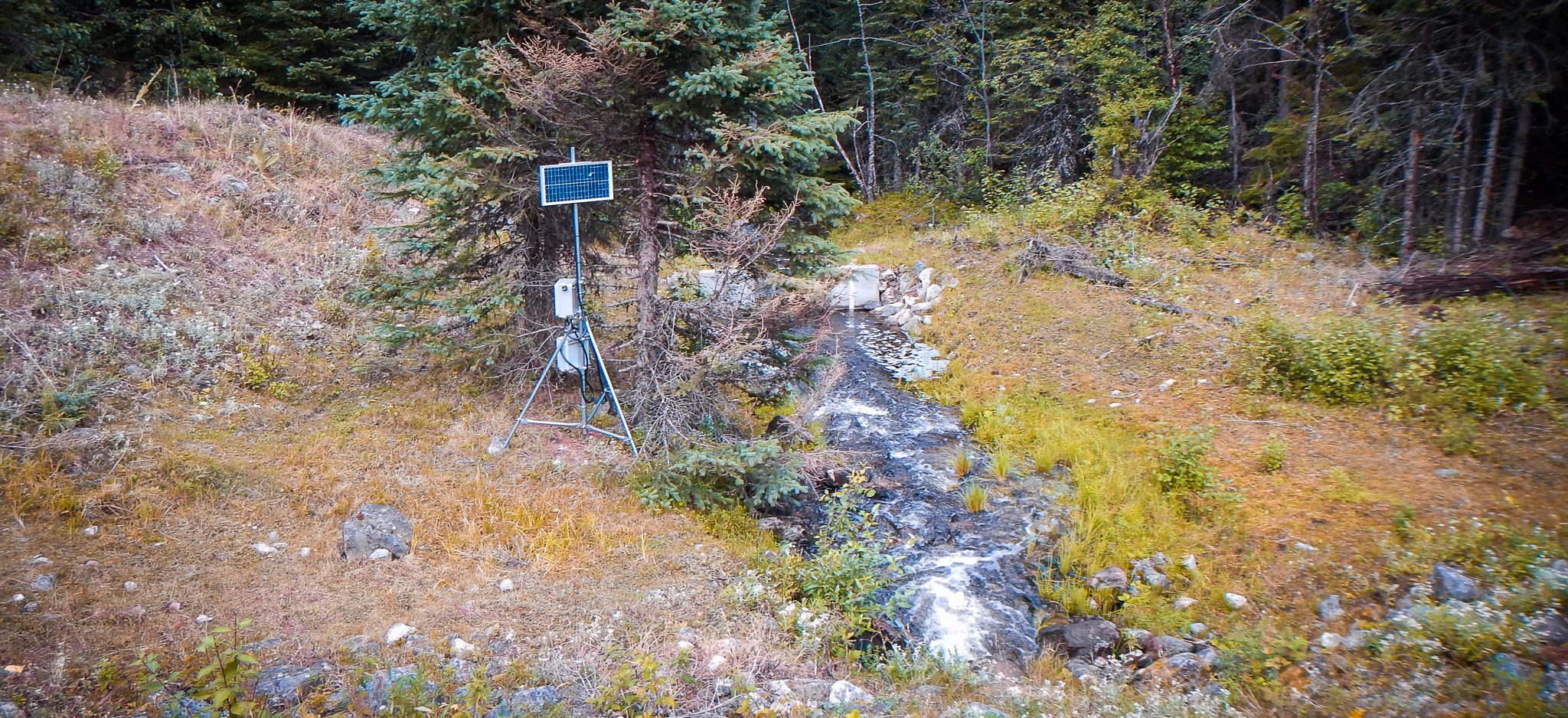
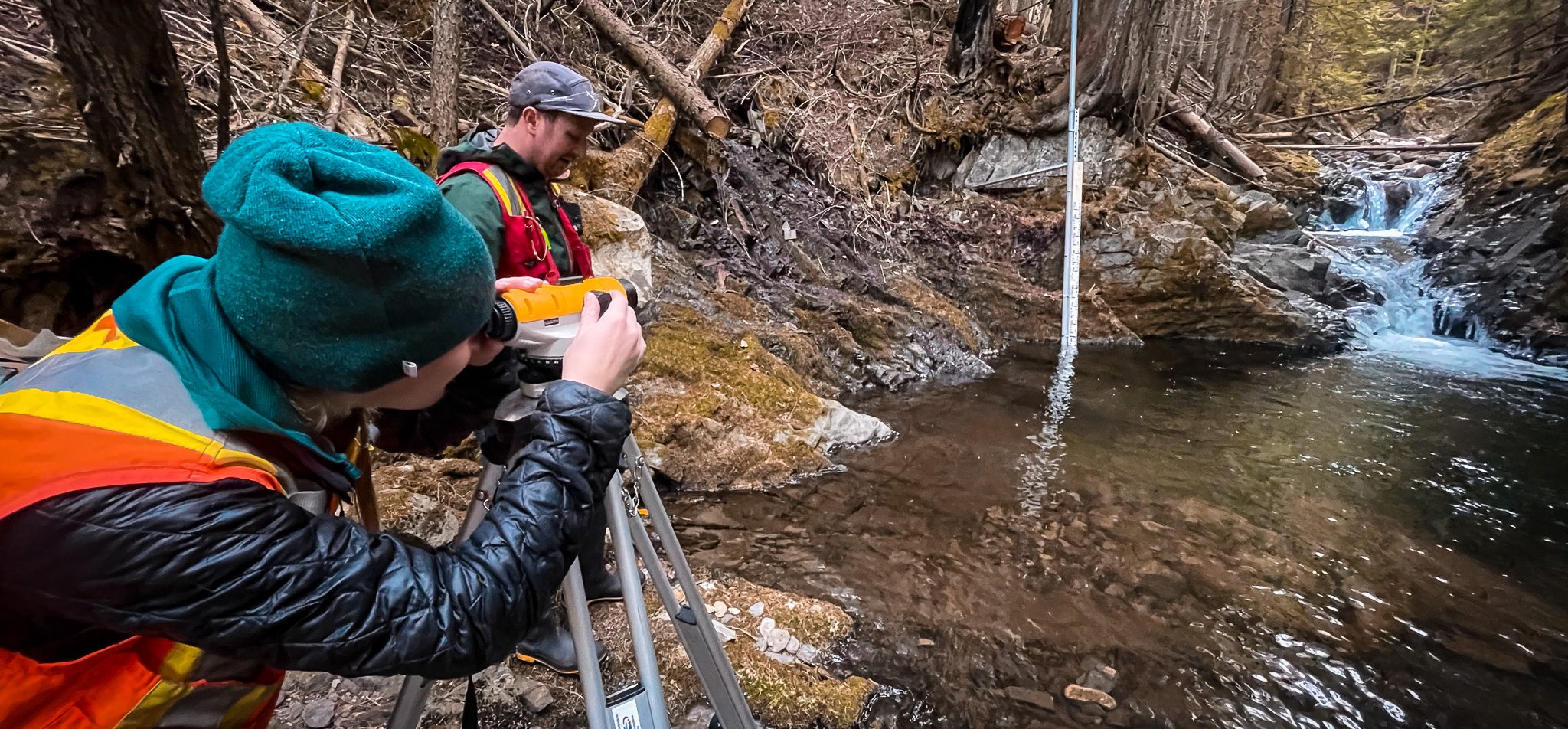
Today, 25 hydrometric stations are part of the program, with 6 stations managed by Water Survey of Canada, and 19 stations funded by the OBWB and its local partners and managed by the Okanagan Nation Alliance. These stations provide critical information for water stewardship and management to support healthy fish populations and a thriving agricultural sector.
This project aligns with the Syilx siwɬkʷ Strategy developed by Okanagan Nation Alliance. One Guiding Principle of the strategy is to “utilize Western Science in conjunction with Syilx Okanagan-based processes.” The Okanagan Hydrometric Information Network Program project implements this principle by collecting data according to provincial hydrometric standards, while being guided by and grounded in Syilx teachings.
“Community-based water monitoring holds the potential to support government watershed security and adaptation goals by helping address current and future water data needs,” said Paige Thurston, report co-author and Columbia Basin Water Monitoring Framework Manager with Living Lakes Canada. “And this Okanagan case study demonstrates how multiple knowledge systems strengthen CBWM projects and lead to successful outcomes. Consistent and multi-year funding is the linchpin to realizing the full potential of CBWM.”
The Okanagan Hydrometric Information Network Program is one of the five featured case studies in the Community-Based Water Monitoring Data Use Cases in British Columbia to Support Planning and Decision Making report, which also includes the Local Indigenous Knowledge and Values Framework co-developed by Living Lakes Canada and Upper Nicola Band.
Funded by the BC Ministry of Environment and Climate Change Strategy, this report not only underscores the value of CBWM data in practical applications but shares many key attributes of successful initiatives to help chart a resilient path forward for other CBWM efforts.
Environmental Flow Needs (EFNs) are an increasingly critical topic in water management in British Columbia. Living Lakes Canada will be attending and presenting at the Environmental Flows Conference 2024 taking place March 13-15 in Kelowna, BC and hosted by the Okanagan Basin Water Board and the Canadian Water Resources Association – BC Branch.


