

Columbia Basin lake surveys continue as part of Year 3 of FIMP
Living Lakes Canada (LLC) is currently in Year 3 of its “Foreshore Integrated Management Planning (FIMP) for Aquatic Species at Risk Project” in the Columbia Basin.
In late 2019, LLC entered into a four-year Contribution Agreement with Fisheries and Oceans Canada (DFO) and their Canada Nature Fund for Aquatic Species at Risk Program to complete this FIMP project, which has the overarching goal to improve the quality and quantity of information about lake foreshore habitat integrity and species at risk in the Upper Columbia Basin. In this way, informed decisions can be made regarding lake foreshore use without exacerbating climate change impacts on the lake’s health.
Additional outcomes include a revised methodology; incorporating First Nations Traditional Ecological Knowledge where appropriate and as it pertains to species at risk; improved data storage and access to resources; the management and mitigation of shoreline development activities; identification of priority shoreline areas for restoration; and protection for aquatic species at risk habitats by way of incorporating the resulting Shoreline Development Guidelines into existing governance structures and planning initiatives of local, regional and provincial governments.
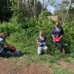
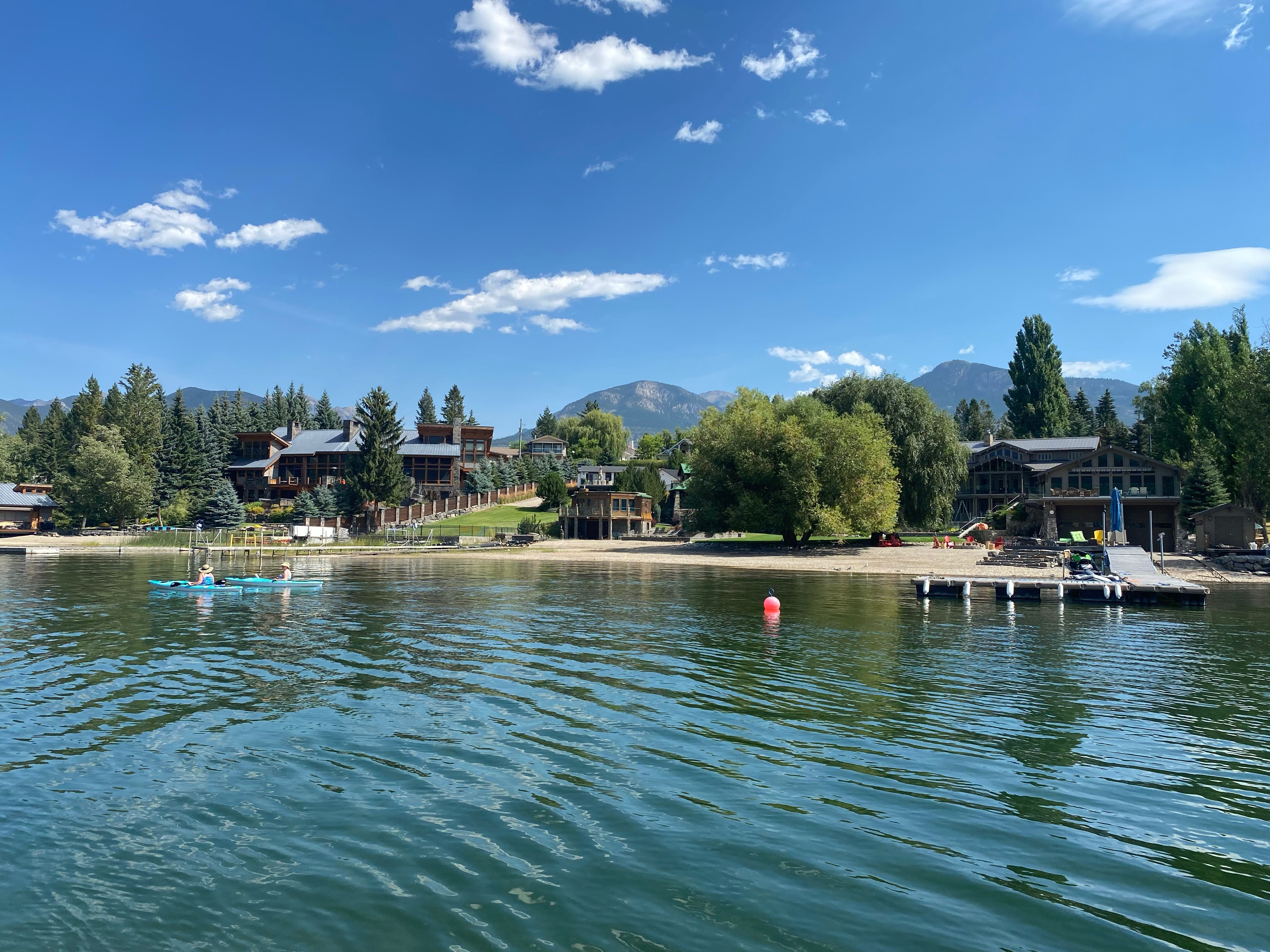
In 2020 for Year 2 of the project, four priority lakes were surveyed: Lake Windermere, Moyie Lake, Whiteswan Lake and Whitetail Lake. Windermere and Moyie were both re-surveyed to assess the rate of change in ecological and urban development parameters (see a full summary of Year 2 here). These surveys resulted in FIMP Reports and Foreshore Development Guideline documents, which will assist the implementation of land-use policies, regulations and/or designations to conserve habitats of highest ecological value, and will help promote stewardship and conservation of high value habitats through education and outreach initiatives.
This data can be accessed on the Columbia Basin Water Hub via a new FIMP landing page. In addition to acting as a portal to access FIMP data, this page features a searchable map of lakes that have been FIMP’d, several resources, and a video demonstration of foreshore surveying.
Through outreach, training, and workshops with Environmental Groups, First Nations, industry professionals, government staff, and shoreline property owners, the data can be used to improve local understanding of the value, purpose and application of FIMP, resulting in increased compliance with shoreline development regulations, increased conservation for high value habitats (including habitats for species at risk), and increased public awareness of habitat requirements for species at risk.
Currently, the LLC FIMP team is in the process of reviewing proposals from qualified consulting firms to survey and report on Kootenay Lake and Slocan Lake this summer for Year 3 of the project. LLC is also reviewing Standing Offers for Columbia Lake, which may also be surveyed in 2021. Selected contracts will be announced in July. Keep an eye out for more FIMP-related news as the project progresses.
In addition to DFO support, LLC also gratefully acknowledges the financial support of the Fish and Wildlife Compensation Program for its contribution to the FIMP Program.
Questions? Contact FIMP Program Manager Georgia Peck: georgia@livinglakescanada.ca or visit the FIMP project page to learn more.
