

Columbia Basin groundwater level data captured in new report
Columbia Basin, March 22, 2020 – There is relatively little known about the aquifers in the Columbia Basin, but the Living Lakes Canada Columbia Basin Groundwater Monitoring Program is starting to fill the knowledge gaps.
The program has recently published its first summary of the groundwater level data collected to date. The technical report provides information on the wells being monitored, data collection methods, and preliminary data interpretation to help understand what is being monitored at each site.
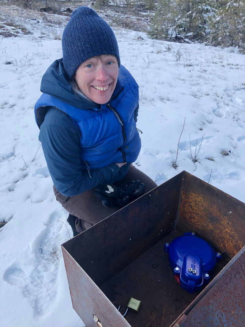
Columbia Basin Groundwater Monitoring Program Manager Carol Luttmer
“The program is innovative and exciting,” says Groundwater Program Manager Carol Luttmer. “The partnerships with existing well owners are key to its success and we are keen to expand, pending sufficient funding and finding suitable wells, so that we can collect data across the range of climatic, geological, topographical, hydrological, land cover, and water use conditions that exist in the Basin.“
The Province of BC has mapped 184 aquifers in the Upper Columbia Basin, where is there is a history of groundwater use. They are monitoring groundwater levels in six (6) of these aquifers as part of the Provincial Groundwater Observation Well Network (PGOWN). To date, the Living Lakes Canada Groundwater Monitoring Program has collected data from an additional 14 wells in 13 different aquifers.
Wells are expensive to drill, therefore the program partners with well owners to monitor groundwater levels in existing wells that are not used to extract water. The groundwater level data are shared on the BC Real-time Water Data Website where they can be accessed publicly.
“There is so much value in collecting data now,” explains Antonio Barosso (P.Eng.), a hydrogeologist with GW Solutions who provides technical support to the Living Lakes Canada Groundwater Program. “We can’t go back in time to collect data, and it’s the long-term data sets that will support us managing aquifers effectively today.”
How much water is stored underground, how it flows, and the resulting groundwater levels are dependent on many factors, including climate, geology, topography, land cover, interactions with surface waters, and how much water humans are withdrawing. Site specific information such as groundwater levels provides information that can be used to help manage and protect aquifers to maintain water supplies for human and ecological needs.
The information gathered in the Living Lakes Canada Groundwater Program data summary report shows that the Volunteer Observation Wells are monitoring a variety of types of groundwater systems in the Upper Columbia Basin including those dominated by surface water-groundwater interactions, mountain block recharge, and precipitation infiltration recharge.
“Understanding the site-specific recharge, storage, and discharge mechanisms for individual aquifers is key to managing water resources,” says Luttmer. “For example, if we understand recharge mechanisms, we can predict which aquifers will be most affected by climate change and we can protect the areas where infiltration is occurring for those aquifers.”
The Groundwater Program data summary report can be downloaded HERE and is also available on the Ecological Reports Catalogue (CLICK HERE).
If you would like more information on the program, visit the Groundwater Program webpage or contact groundwater@livinglakescanada.ca.
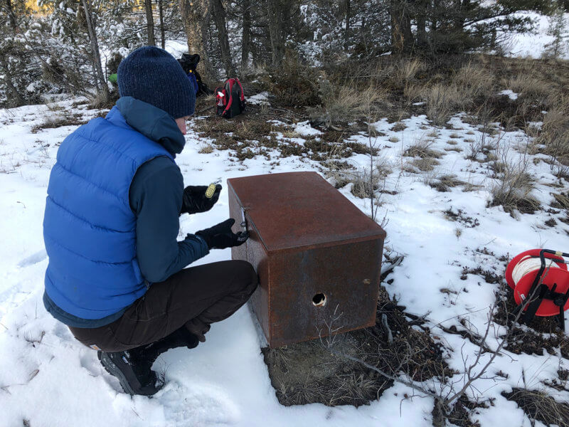
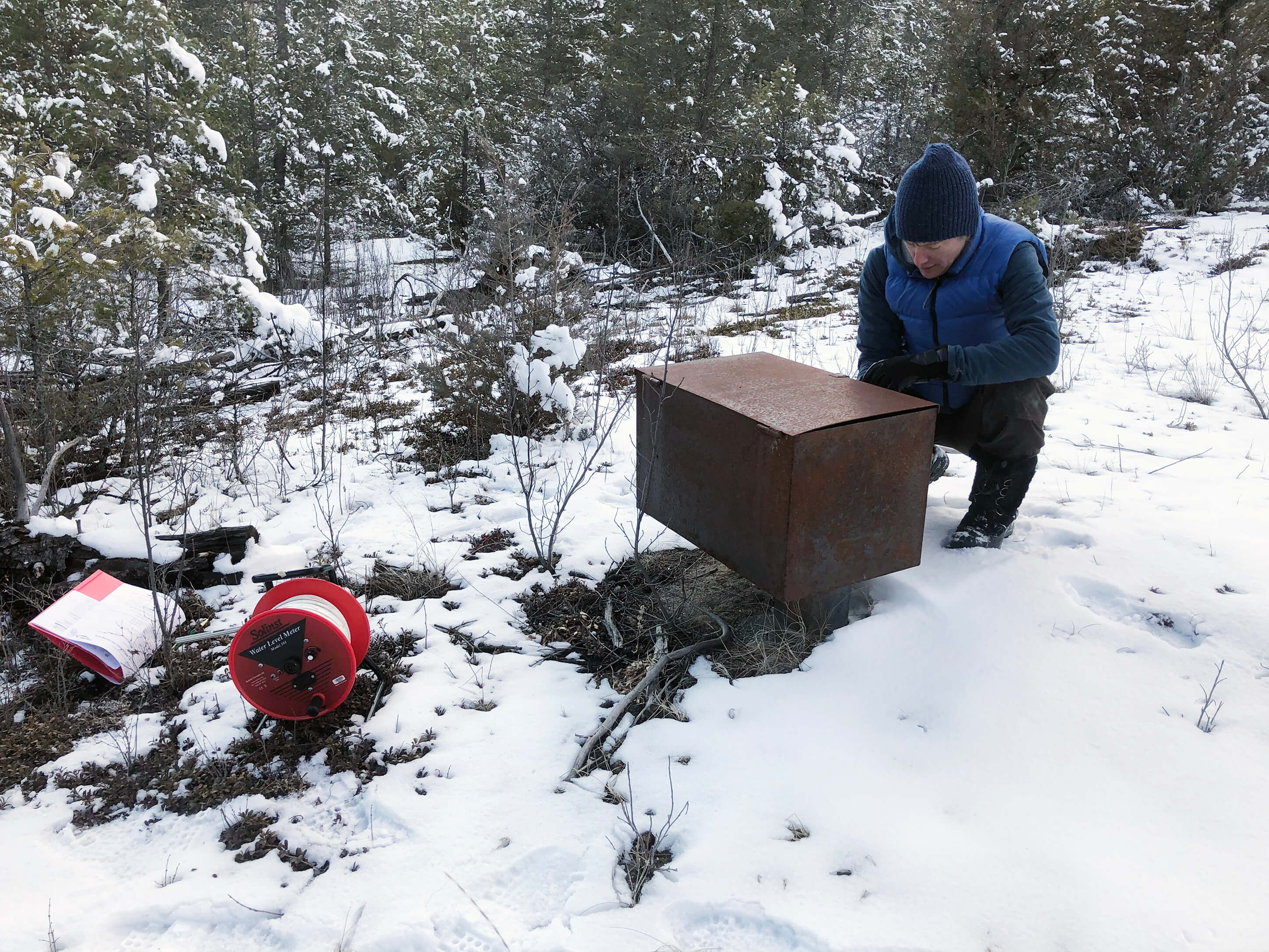
Groundwater Program Manager Carol Luttmer checks a well at the Nature Trust of British Columbia’s Dutch Creek Hoodoos Conservation Area.
