
Unlocking the Secrets of the Lower Elk Aquifer
How community observations and cutting-edge science are solving a B.C. groundwater puzzle
Another important piece of the Lower Elk Aquifer puzzle has fallen into place.
But, as is often the case with groundwater, the latest science provided some answers while raising new questions, said Jeph Virtue, chair of the Collective for the Lower Elk Aquifer Restoration Society (CLEAR).
Community collaboration to understand the Lower Elk Aquifer
The Regional District of East Kootenay approached Living Lakes Canada with concerns about the state of the aquifer back in 2021 and efforts to piece together the puzzle of what is happening to water flows into the aquifer have brought together various parties.
“When you’re trying to figure out how water moves underground, it’s not like a creek or a river that you can see,” Virtue said.
The Lower Elk Aquifer feeds lakes, wetlands, springs and streams within the Baynes Lake area and Kikomun Creek Provincial Park in southeastern B.C.
For Virtue, the effort to understand that underground water system began when lake levels dropped seven vertical feet after 2016.
“I started taking more interest in where our water actually came from,” he said.
Local knowledge and scientific clues link the Elk River to groundwater
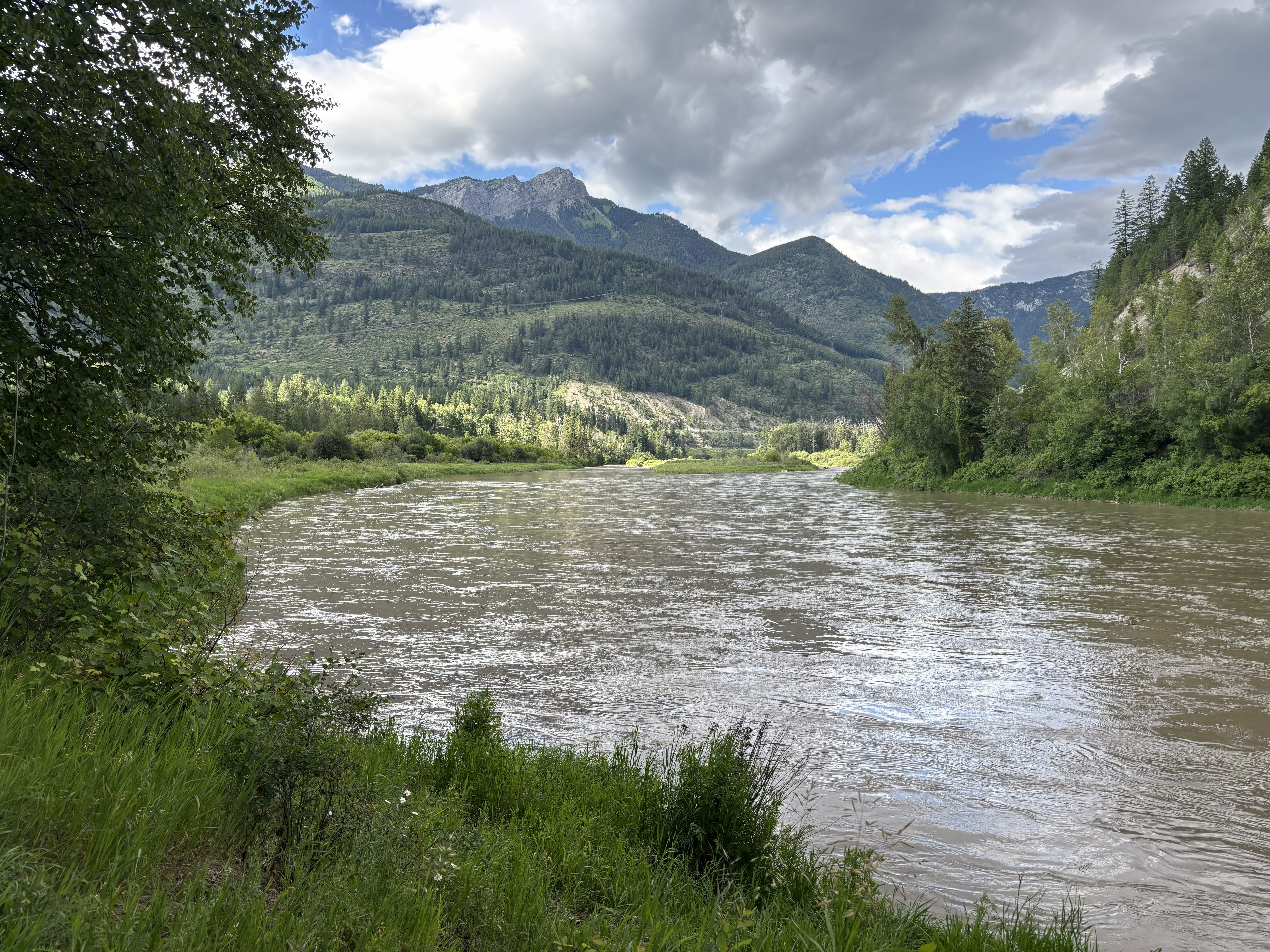
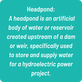
For generations, local residents had believed there was a connection between water levels in the Elko Dam headpond and the levels of lakes and ponds around Baynes Lake and Kikomun Creek Provincial Park. When the headpond was high, the lakes tended to be higher. When it dropped, residents saw the lakes drop too.
“The old-timers always believed there was a connection,” Virtue said. “But the frustrating part was that there wasn’t enough science to demonstrate it, so their observations weren’t necessarily accepted by officials.”
Providing the science was the genesis of CLEAR. A small group of local residents and technical advisors began looking for scientific evidence that Elk River water was reaching the groundwater system. One of their first clues came from selenium.
The Elk River has an elevated selenium signature associated with upstream mining activity. When the group sampled groundwater wells and springs in the Lower Elk Aquifer area, they found selenium concentrations approximately 800 to 3,100 per cent higher than naturally occurring background levels in the area.
“That was a pretty important clue,” Virtue said. “It indicated that Elk River water was a significant source of our groundwater system.”
Then came geological clues.
CLEAR geology adviser John Hodgins identified evidence of faulting in the Elko area. Faults and fractured bedrock can provide pathways for groundwater movement. He also drew CLEAR’s attention to work by geologist John Clague suggesting that, for thousands of years up until 30,000 years ago, the ancient Elk River flowed toward what is now Baynes Lake and Kikomun Creek Provincial Park.
That raised an intriguing possibility: beneath Elko there might be an ancient bedrock valley or canyon providing a route for water to move from the Elk River toward the Lower Elk Aquifer.
Subsequent geophysical work by BGC Engineering provided further evidence of that buried bedrock feature, outlining what appears to be a canyon or saddle beneath the Elko area.
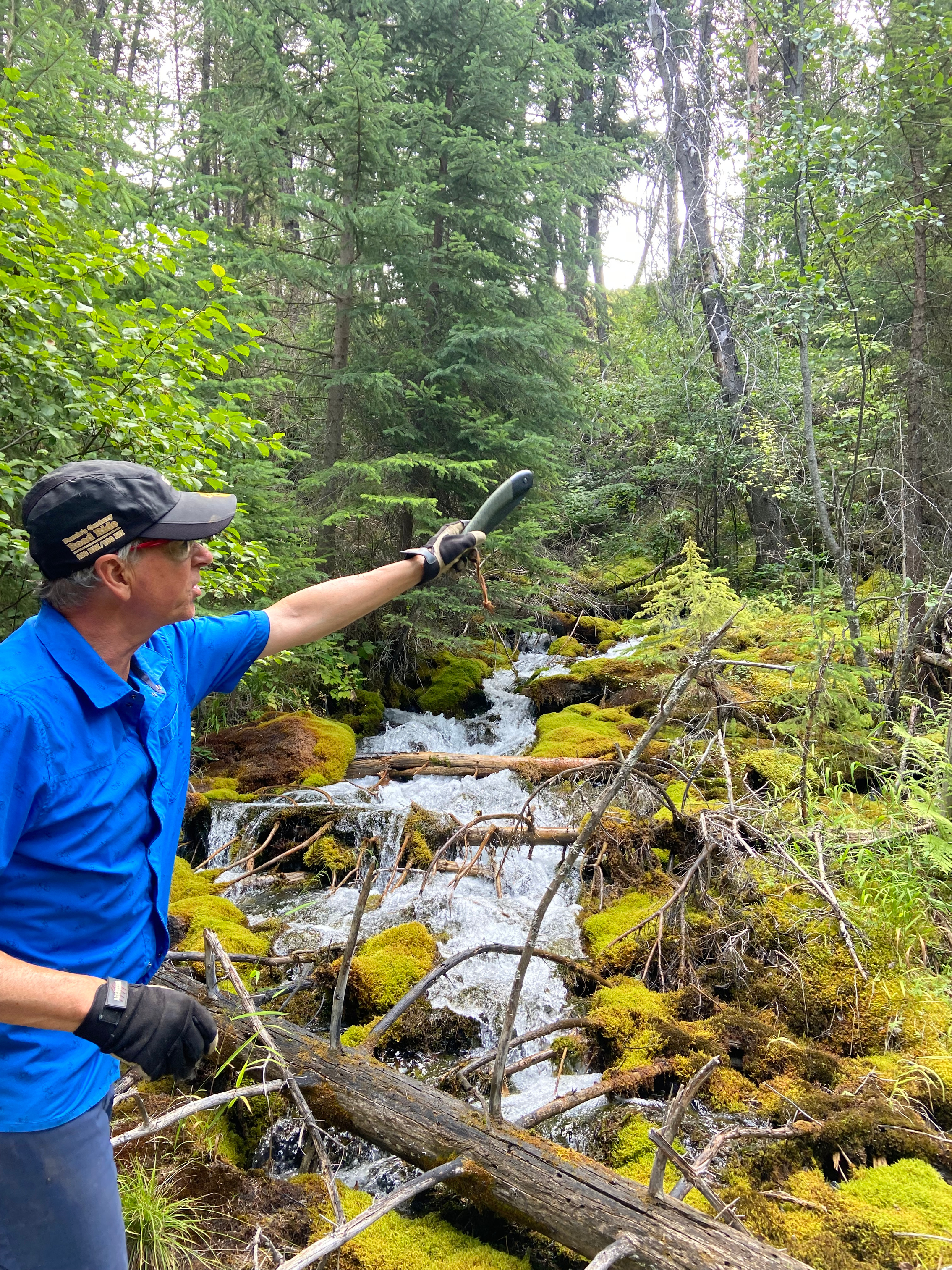
Eleven and counting groundwater-fed springs entering Kikomun Creek have been identified, providing further evidence that water is flowing underground.
CLEAR developed a conceptual water balance to better understand the major sources of water entering the Lower Elk Aquifer system and where that water ultimately goes. As part of that work, CLEAR worked with the Elk River Alliance (ERA) to measure how much Elk River water is entering the aquifer. Using ERA’s Doppler flow equipment, measurements indicated that more than one cubic metre per second is leaving the river and entering the aquifer.
“About two-thirds of that water shows up in the springs entering Kikomun Creek,” Virtue said. “Much of the remaining water likely makes its way to area lakes and ponds. Ultimately, the groundwater system drains toward Lake Koocanusa.”
Tracking long-term lake levels and water movement
Living Lakes Canada then became involved in helping CLEAR build another part of the scientific record. About three years ago, Living Lakes supported the installation of water-level loggers to continuously track changes in area lakes.
The monitoring is valuable. Virtue says having several decades of lake-level measurements is even better.
That is where another CLEAR adviser Stewart Rood, a University of Lethbridge scientist, is helping fill a major gap.
Although still in its early stages, Rood is developing an approach using more than 30 years of satellite imagery to reconstruct historical changes in local lake levels. The work will provide a much longer record that can be compared with Elk River flows and Elko Dam headpond levels.
“And that is really exciting,” Virtue said. “The satellite information supports what the old-timers had been telling us. There is a correspondence between Elko Dam headpond levels, Elk River flows and the levels of lakes and ponds in the Lower Elk Aquifer area.”
The next question was how that water actually moves underground.
A 2025 Columbia Basin-wide Aquifer Assessment led by Living Lakes Canada highlighted the aquifers in this area as requiring further monitoring and assessment to inform water management, particularly because they are located underneath prime agricultural land.
That led to the recent geophysical resistivity study at Elko, facilitated by Living Lakes, completed by BGC Engineering.
Geophysical findings on underground water pathways
The study provided another important piece of the puzzle.
It identified subsurface conditions consistent with Elk River water having viable pathways toward the known aquifer recharge inlets near Elko.
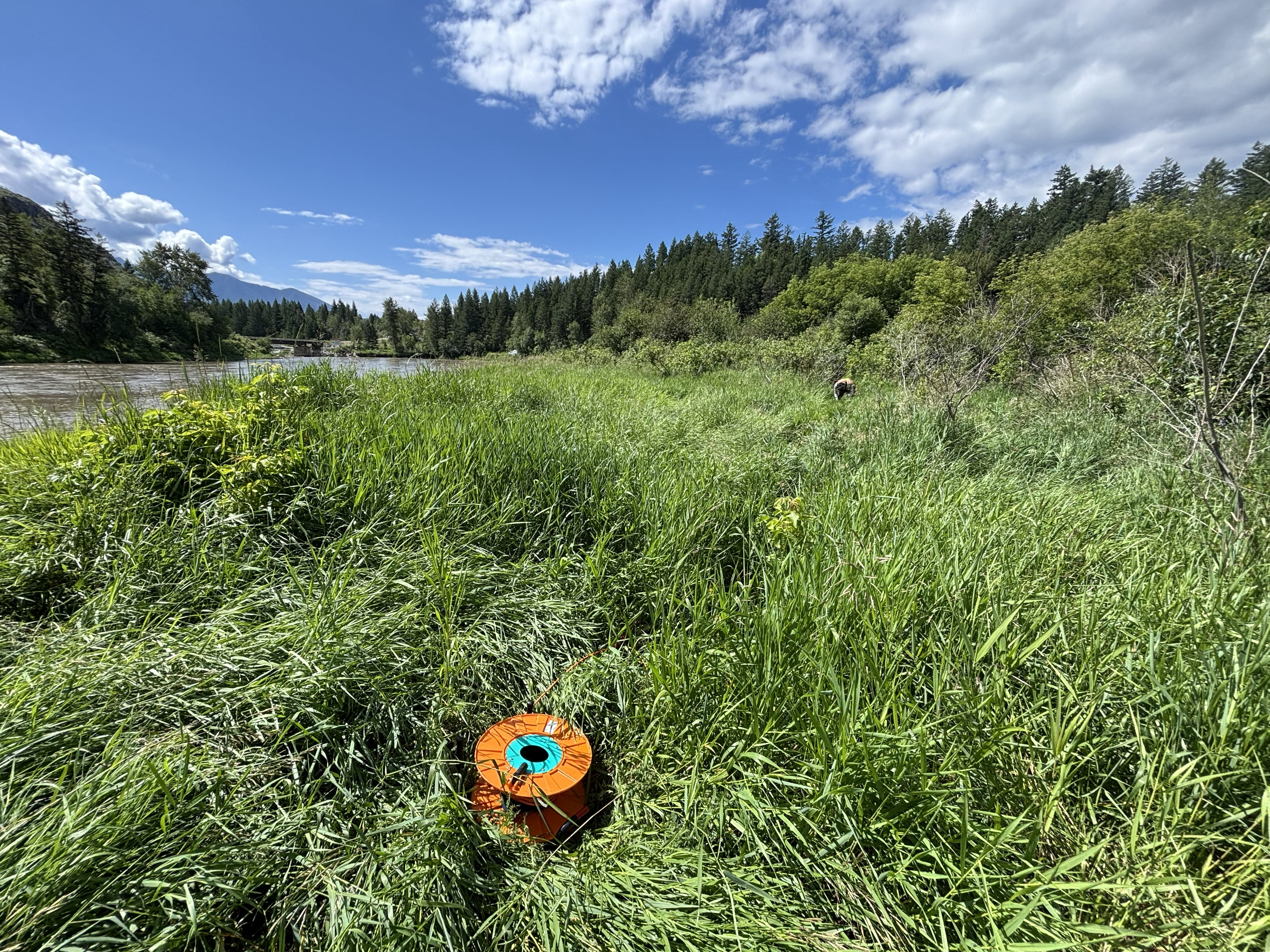
BGC Engineering also found more hardpan than was expected, and this makes the next step more complicated. Water well drillers often describe hardpan as dense morainal material or till, which basically means a heavily compacted mixture of clay, silt, sand, pebbles and boulders cemented chemically together. Soil mapping in the Elko area also includes more cemented deposits in this hardpan, which reduces its ability to let water flow through it even more.
Virtue said there are still pathways for the water to find its way to the known aquifer recharge inlets.
One feature appears somewhat analogous to a large natural “French drain” — a deeper, more permeable pathway capable of transmitting water.
For Virtue, each study has added another piece to a much larger picture.
“We started with observations from people who had lived here for decades. Then selenium gave us a chemical clue. Geology gave us another clue. The prolific springs flowing into Kikomun Creek and a conceptual water balance helped build on our understanding. Satellite data will give us a 30-year record. And now the geophysics is helping us see what may actually be happening underground.”
Next steps for aquifer protection and water management
But several important pieces of the puzzle remain.
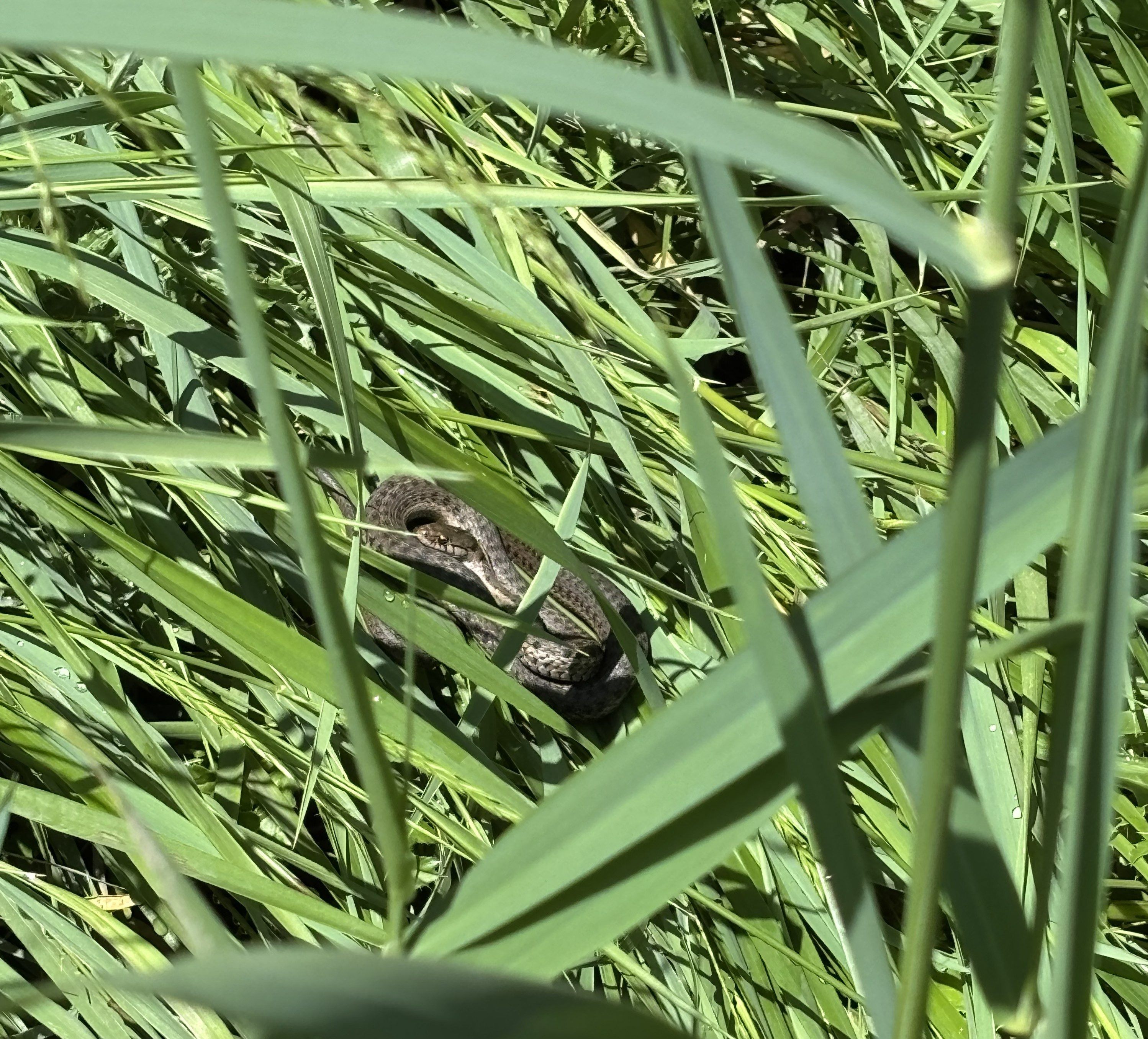
What are the primary pathways carrying Elk River water toward the recharge areas? Are there upper and lower aquifers, potentially separated in places by the hardpan? Are there additional aquifer recharge inlets that haven’t yet been identified? What pathways supply the groundwater-fed springs entering Kikomun Creek and the lakes and ponds of the Lower Elk Aquifer area? What ecological flow rate does Kikomun Creek need to support species such as spawning kokanee and other protected fish, while also sustaining Western painted turtles and the lakes, ponds and wetlands they depend upon?
“Using science, and with the support of Living Lakes Canada, the Regional District of East Kootenay and the continued support of many other partners, advisers and community members, CLEAR is confident we can solve the entire puzzle,” Virtue said. “If we fully understand how our water system works, we can protect it and sustain the water that fish, turtles and people need.”
Living Lakes Canada would like to thank the Collective for the Lower Elk Aquifer Restoration Society (CLEAR) for their collaboration.
We gratefully acknowledge the financial support of the Province of British Columbia through the Ministry of Agriculture and Food.
This work was also supported by the Climate Ready Infrastructure Service (CRIS), which is administered by the Canadian Urban Institute and funded by the Government of Canada.
We would further like to thank the Regional District of East Kootenay for their financial support of this work.