

Fraser Lake shoreline survey to protect lake biodiversity
Fraser Lake is home to incredible biodiversity including Nechako White Sturgeon, Chinook Salmon and migrating Trumpeter Swans. Its 70.9 kilometers of shoreline hold high ecological, economic, and cultural value. As part of a study to map and assess Fraser Lake’s foreshore, a lake survey will soon be carried out by boat using GPS and drone footage.
Funded in part by CN Rail, the Regional District of Bulkley-Nechako, and the Nechako Environment and Water Stewardship Society (NEWSS), Living Lakes Canada will re-survey Fraser Lake in mid-August, dependent on wildfire activity. It will use a federal monitoring protocol called Foreshore Integrated Management Planning known as FIMP.
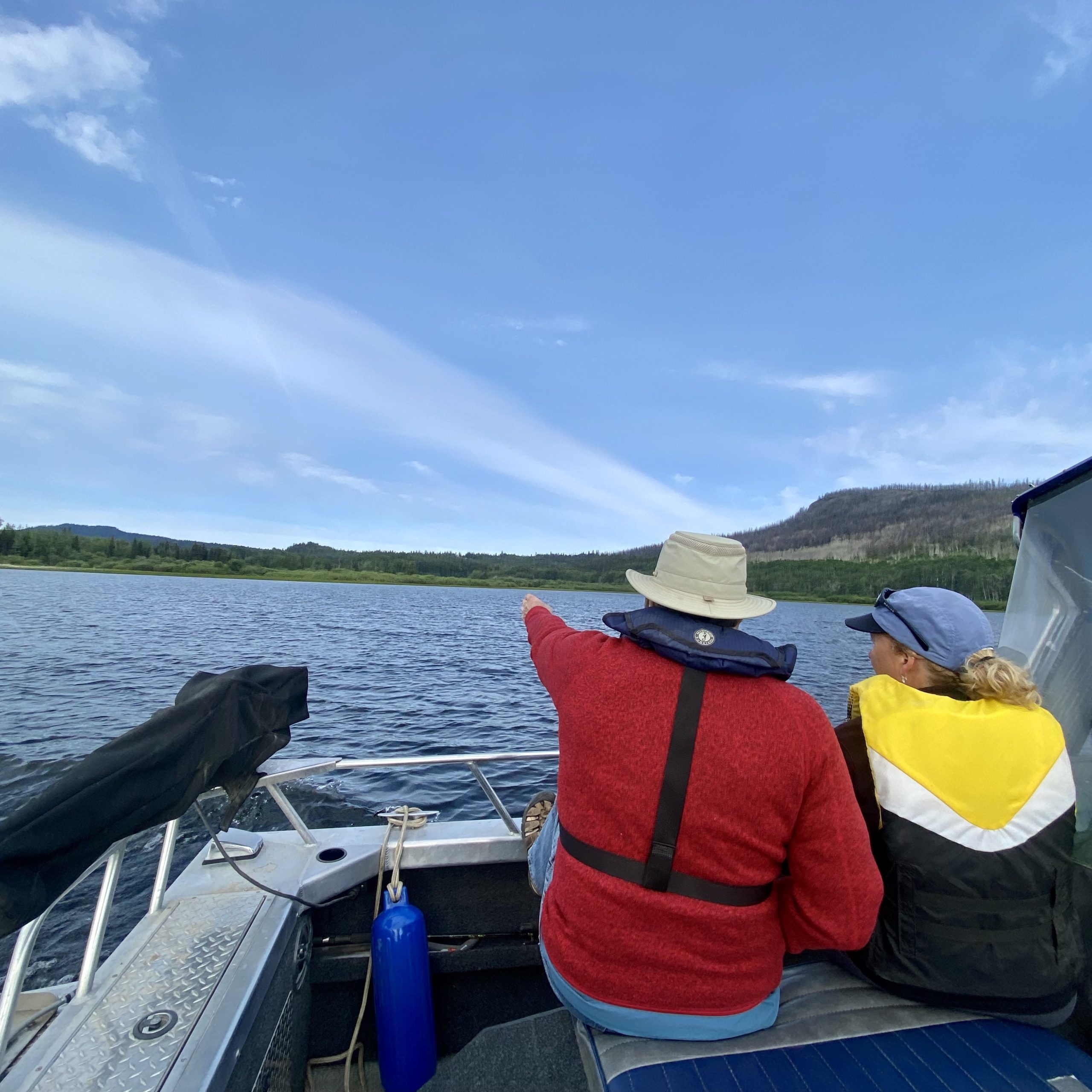
Fraser Lake field meetings with FIMP partners in June 2023. LLC Photo
The project will determine how the lake’s foreshore health has changed over time. A previous Fraser Lake FIMP survey conducted over a decade ago reported that approximately 34% of the shoreline was highly impacted by active construction and shoreline modification.
“Fraser Lake was originally surveyed in 2011 and this re-survey will allow us to assess the rate of change over the last 12 years with respect to habitat loss, development pressures, climate change impacts, and shoreline change”, said Georgia Peck, Lake Program Manager with Living Lakes Canada. “The reports generated by FIMP surveys can help conserve Fraser Lake’s ecological values and at risk aquatic species.”
Fraser Lake residents that live and recreate along the foreshore (defined as the area along the lake between the low and high water mark) may see or hear the drone survey this summer. Negative impacts and changes to the lake foreshore can occur slowly over time and can be difficult to detect. Drone video footage can be used to identify changes due to development or natural disturbances. It can also be used to inform decision-making and land-use planning. All drone use complies with Federal Drone Guidelines and Government Drone Operators’ Guidelines, and drone footage is collected in accordance with the Personal Information Protection Act (PIPA).
Drones are flown at a height where identifiable features including names, faces, or license plates are not visible. Information gathered from the drone footage will include land use, shore type, vegetation, streams and human-made developments within the foreshore area. To learn more about drone use as part of this project, view this handout.
“The Nechako Environment Water Stewardship Society (NEWSS) is pleased to see this excellent project by Living Lakes Canada moving into the operational stages this summer,” said Wayne Salewski, Chair of the NEWSS Board of Directors. “Fraser Lake is one of the most important salmon refuge lakes in the central interior, but is also critically important to species at risk like Nechako White Sturgeon, Burbot and Rainbow Trout. All will greatly benefit from the work completed by Living Lakes Canada.”
As part of Living Lakes Canada’s commitment to Truth and Reconciliation, Stellat’en First Nation and Nadleh Whut’en First Nation have been engaged in the project and are supportive of the work being done.
Based on the lake survey results, Living Lakes Canada will generate Foreshore Development Guidelines. Findings will be shared with the Fraser Lake community, First Nations, and local government in the Spring 2024.
For questions, please contact Georgia Peck, Lakes Program Manager, at georgia@livinglakescanada.ca.
For more information about FIMP, please visit www.livinglakescanada.ca/foreshore-integrated-management-planning/


