

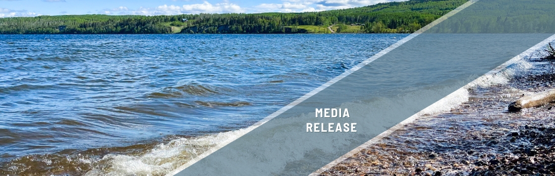
François Lake shoreline still in good condition, but requires protection
British Columbia, Canada – A survey of the health of François Lake’s shoreline revealed the majority of the lake’s shorelines are still in natural condition, and 41 per cent of this area is of very high, or high, ecological value.
François Lake is BC’s second-longest natural lake and 83 per cent of its shorelines are still in natural condition, according to the survey, led by Living Lakes Canada, and done in partnership with Stellat’en First Nation, Ts’il Kaz Koh First Nation, the Regional District of Bulkley-Nechako, and BC Parks staff.
“We haven’t seen the same development pressures at François Lake as at some of the other more highly developed lakes in the province, but we chose the lake because more recreational use and seasonal vacationing are anticipated,” said Georgia Peck, program manager with Living Lakes. “Municipalities and rightsholders can use the data in this report when they’re deciding where and how to develop, and which areas should be set aside entirely to protect the clean water and wildlife that residents and visitors all enjoy.”
François Lake is located in the Nechako River Watershed, which is facing significant challenges, including wildfire and drought, impacts from the mountain pine beetle epidemic and salvage logging, climate change, and water diversion.

Existing areas of higher ecological value tended to contain multiple, overlapping habitats of importance. For instance, stream mouths of salmonid streams typically had high juvenile rearing values, extensive emergent aquatic vegetation, and other features such as stick nests.
Indigenous partners also identified eight culturally sensitive areas along the shoreline, including a mix of traditional and contemporary fisheries uses and historic settlements.

The report contains numerous recommendations. Some of the priorities are:
- Encourage the sharing of lake-based recreational structures. This can go a long way to protecting habitat, as opposed to each residential property having its own beach, boat launch and dock.
- A development permit process should be implemented by local governments to limit impacts in high-value habitats.
- Develop regional lakeshore plans, such as a greenspace legacy plan, to ensure that sufficient green space and habitat remain within rural reserves or areas understood to be less developable.
- Agencies should develop enforcement and monitoring plans and commit sufficient resources to the plans, so they are successful at taking enforcement action in a consistent and ongoing manner that is collaborative between agencies.
The final report and associated maps can be found here.
Living Lakes Canada would like to thank the project steering committee that helped lead this project, which included representatives from Fraser Basin Council- Nechako Watershed Roundtable, Ts’il Kaz Koh First Nation, Stellat’en First Nation, BC Parks, and Bulkley-Nechako Regional District.
We would also like to thank the funders of the project: the Government of Canada (Canada Water Agency), Drax Foundation, Centerra Gold, BC Parks Foundation, and BC Parks.
Georgia Peck, Living Lakes Canada program manager of Foreshore Integrated Management Planning, is available for comment.
– 30 –

About Living Lakes Canada
Living Lakes Canada is an award-winning water science and stewardship non-governmental organization based in the B.C. Columbia Basin that facilitates collaboration in monitoring, restoration, and policy development initiatives for the long-term protection of Canada’s lakes, rivers, wetlands and watersheds. Visit https://livinglakescanada.ca/ for more information.
Contact
Hanneke Brooymans
Communications Team Lead
587-336-4396

