Captíkʷł guides Nicola Lake survey to improve foreshore health
Imagine you’re setting out on a trek through an unfamiliar mountain range.
You have the latest 3D digital map on your phone, with realistic terrain models, satellite imagery, and even live updates. Beside you is a guide whose ancestors lived in these mountains and observed every rock, tree, and stream. This guide can tell you nuanced details crucial to your survival, like where the safest river crossings are and which plants can be used as food and medicine. To reach your destination safely, it makes sense to combine the insights of both the high tech map and the guide’s time-tested knowledge of the land.
This was the combined approach taken by Living Lakes Canada and the Upper Nicola Band (UNB) to better understand the impacts threatening the health of Nicola Lake, the largest lake in Nicola River watershed. Nicola Lake is a popular recreation destination, home to over 20 fish species, serves as an important water source for agriculture, and holds a rich history for the Syilx and Nlaka’pamux people, with historic battle sites and pit houses along its shores.

In response to ongoing shoreline development and climate impact concerns, the UNB and Living Lakes initiated a collaborative “Two-Eyed Seeing” approach to improving foreshore management for Nicola Lake by developing the Local Indigenous Knowledge and Values Framework. The framework integrates Indigenous Knowledge into a federally-developed cumulative impact assessment tool for freshwater conservation known as Foreshore Integrated Management Planning, or FIMP. The Sylix Okanagan Nation’s foundational captíkʷł (oral stories) of the Four Food Chiefs form the structure of the framework and the Chiefs’ individual values provide guidance to the Nicola Lake FIMP approach.
“This project has been an exciting opportunity to field test the Local Indigenous Knowledge and Values Framework with Nicola Lake being the first lake to be surveyed using this framework,” said Georgia Peck, FIMP Program Manager with Living Lakes. “It marks an adaptation of FIMP to better recognize Indigenous Knowledge alongside western scientific metrics giving us a more holistic look at the health of the shoreline.”
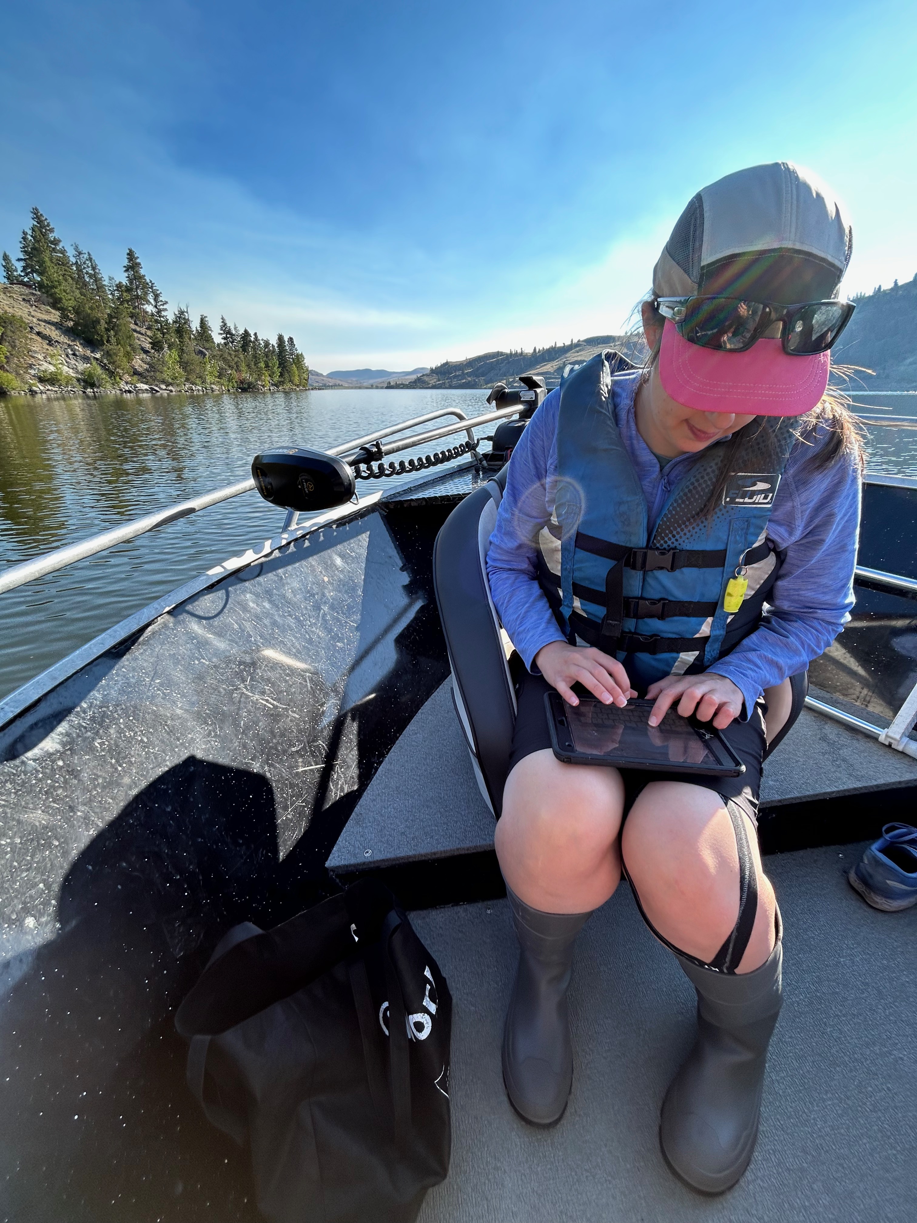
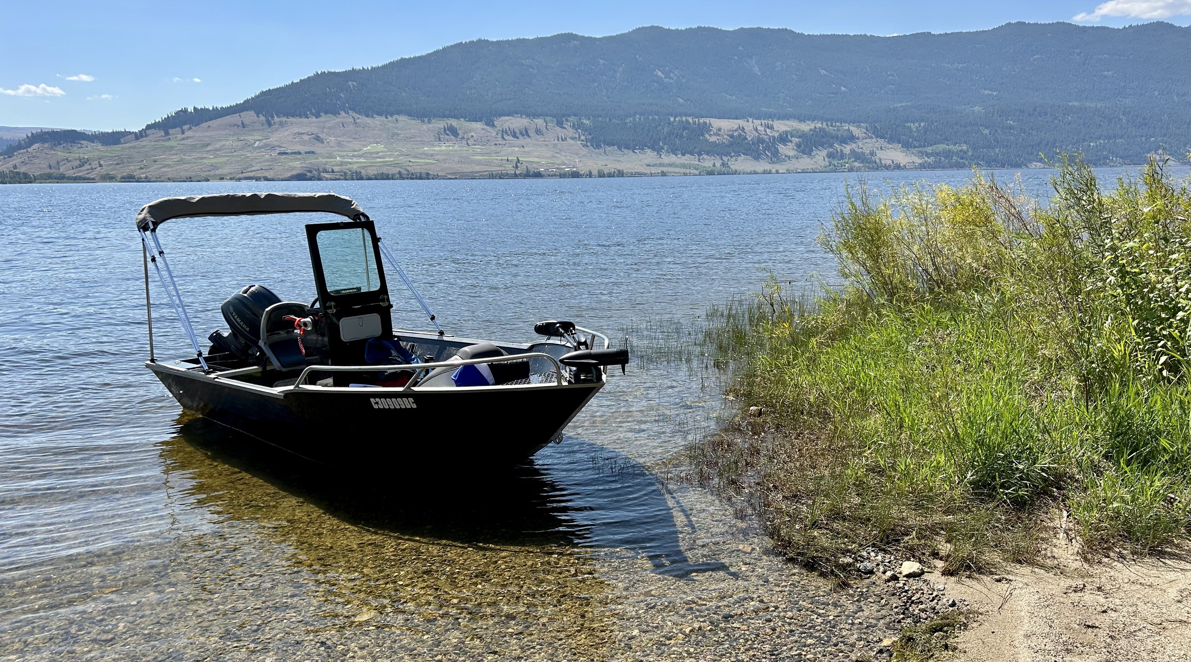
The first FIMP survey of Nicola Lake occurred in 2011. In 2023, a re-survey, guided by the Indigenous Knowledge and Values Framework and conducted by boat using GPS and drone assessments, documented changes to the lake’s foreshore over 12 years. This re-survey was conducted alongside a Cultural Overview Assessment led by UNB.

The Nicola Lake Cultural Overview Assessment, supported by Kwusen Research and Media, employed three primary research methods. A desktop review analyzed over a decade’s worth of UNB research, encompassing more than 100 oral history and mapping interviews and over 200 Indigenous Land Use (ILU) Values in the UNB’s Community KnowledgeKeeper database. In-office interviews with UNB community members captured additional ILU Values, stories, and concerns regarding Nicola Lake’s cultural, spiritual, and ecological significance. Finally, field trips with elders recorded significant sites along the lake’s shoreline using GeoKeeper, UNB’s field data app.
The re-survey found that the Nicola Lake shoreline is composed of 4.8% “Very High” and 46% “High” ecological value areas, with 51.3% (26.5 km) of the foreshore in natural condition, surrounded by open coniferous forest, wetlands. The remaining 48.7% of the shoreline is “disturbed”. Most of the degraded shoreline is due to a combination of transportation (Highway 5A and agriculture), recreation, park, and single-family land uses. Among the most common shoreline modifications are groynes, docks, retaining walls, and mooring buoys. Since 2011, single family and recreational developments have degraded approximately 517 metres of natural shoreline. This amounts to a rate of change of approximately 0.08% from 2011 to 2023.
Recognizing that the entire Nicola Lake, including its foreshore, is a sacred and culturally significant place, the Cultural Overview Assessment identified 19 Culturally Sensitive Areas (CSAs) along the Nicola Lake foreshore. Inclusive of spiritual, ceremonial and cultural places, these CSAs have important sacred and spiritual values, and disturbance of these areas will violate Syilx law. Additionally, there may be other archaeological sites yet to be identified that hold similar cultural significance and require protection.
The project’s resulting Nicola Lake Foreshore Development Guidelines report provides evidence-based recommendations to protect sensitive habitats around the lake. Overall, any shoreline area that contains a segment with High or Very High ecological values, or a CSA, should be protected from future land use or development in order to maintain Nicola Lake’s current ecological and cultural integrity.
“The Indigenous Knowledge and Values Framework brings two worldviews together to help understand aspects of the environment that have not been historically captured in this collective way,” said UNB Councillor Brian Holmes.
The results of the combined 2023 Nicola Lake FIMP and cultural assessments, including reports and maps, can now be found on the Water Hub. The Nicola Lake Foreshore Development Guidelines offer valuable insights on habitat quality and development for government, First Nations, stewardship groups, and property owners.
This project was funded in part by the Union of BC Municipalities and the Province of British Columbia.
To explore the findings for up to 30 other lakes surveyed as part of the FIMP program, visit the main FIMP page on the Water Hub. To learn more about the program, visit https://livinglakescanada.ca/fimp.


