
Why does lake shoreline health matter?
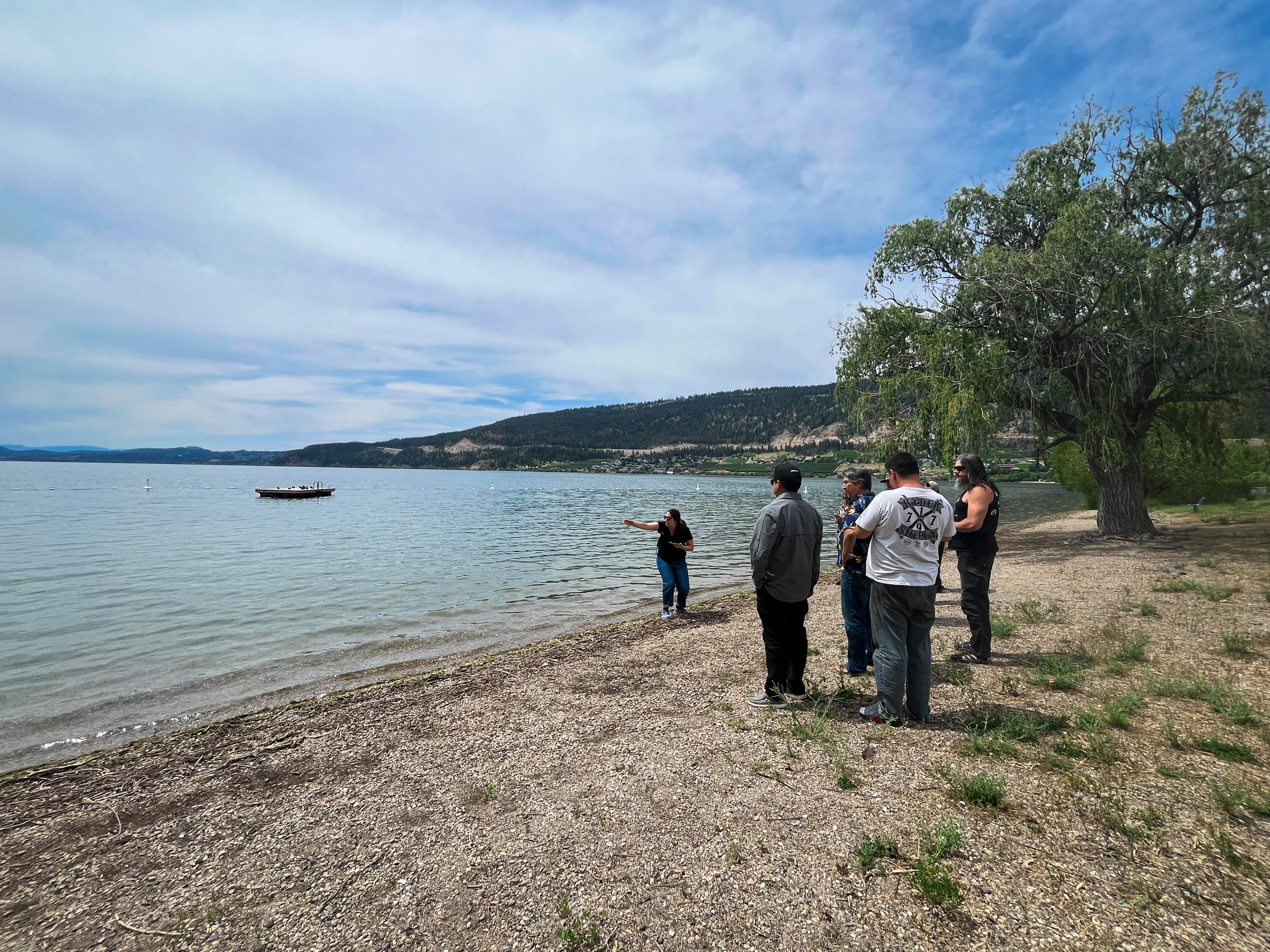
Healthy shorelines play an important role in supporting clean water, abundant wildlife populations and natural shorelines for recreation. They reduce erosion, protect water quality, support biodiversity, and maintain the recreational and cultural values that underpin the livability and identity of communities on, or near, lakeshores. But shoreline health can suffer impacts from unchecked or improperly planned development, as well as from climate change.
What makes a shoreline healthy?
A variety of visual indicators can help identify a healthy shoreline. They include:
- A robust riparian zone
What is a riparian zone?
The strip of land at the edge of the water, which has an incredibly large impact on the overall health of the environment, relative to its size. Because it provides access to water, shelter, and abundant food, it is home to more diverse plants and animals than almost any other ecosystem type.
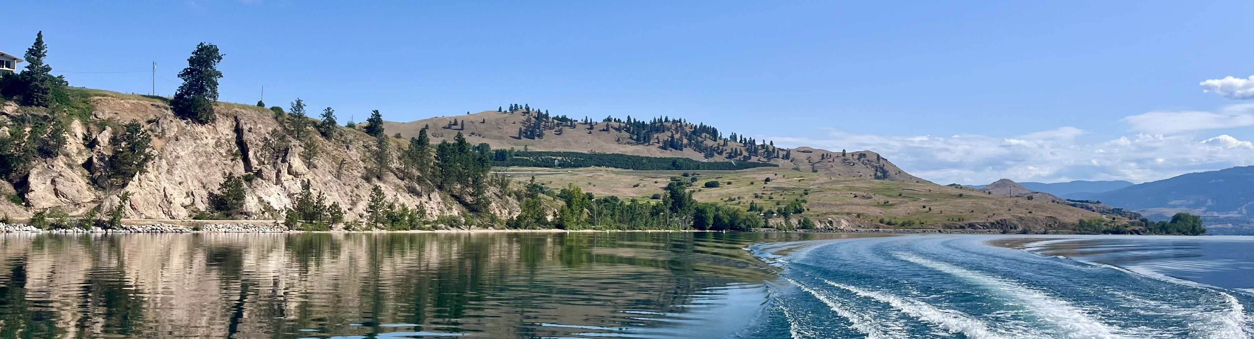
- Intact natural shorelines, riparian zones, and foreshore environments, with native, undisturbed vegetation, including a mix of native shrubs, trees, and ground cover on both the shoreline and in the water. This helps protect against soil erosion, filters pollutants from entering the water, provides habitat for wildlife, and cools the surrounding water and air temperature.
What does foreshore mean?
Foreshore is the dynamic strip of land located between the high-water and low-water marks.
- Large woody debris like logs, which provide habitat for wildlife, and reduce the impact of waves on the shoreline
- Shorelines free of human modifications like docks, boat launches, retaining walls and mowed lawns and paths
- Natural substrates — such as soil, cobble, sands, clays, muds — without moved or stacked rocks or concrete surfaces
How does Living Lakes Canada contribute to healthy shorelines?
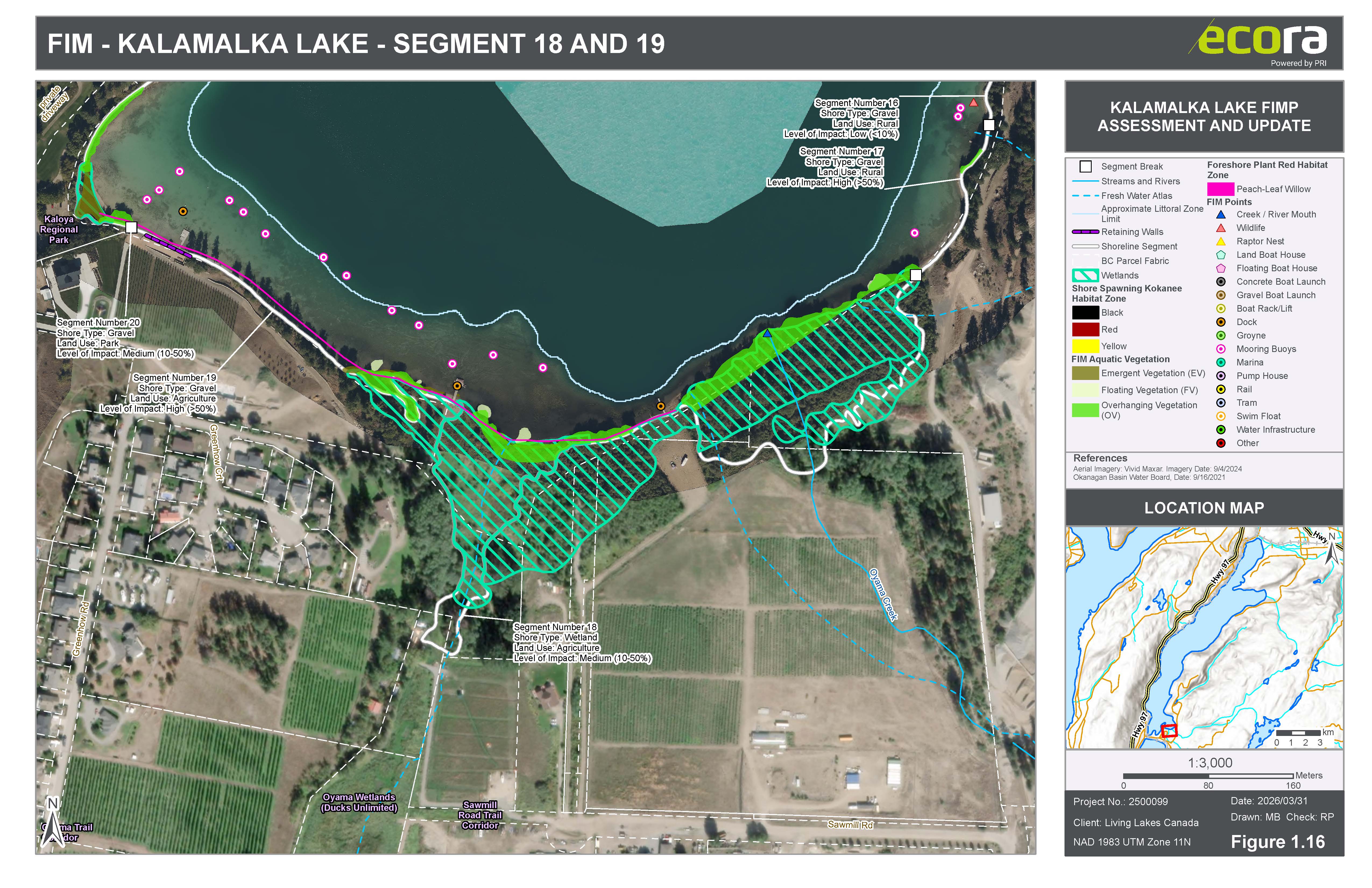
Our shoreline survey reports and guidelines provide land use planners with insights into the health of their local shorelines and the measures needed to protect and improve shoreline conditions. We use the Foreshore Integrated Management Planning (FIMP) program to assess shoreline health. This is a standardized shoreline survey designed to assess the ecological health of lake shorelines, map natural habitats, and monitor the combined impacts of climate change and development. Each project is guided by a local steering committee made up of First Nations, local governments, and community stewardship groups. This collaborative model ensures the project is tailored from the start to address local concerns and align directly with regional planning and policy needs.
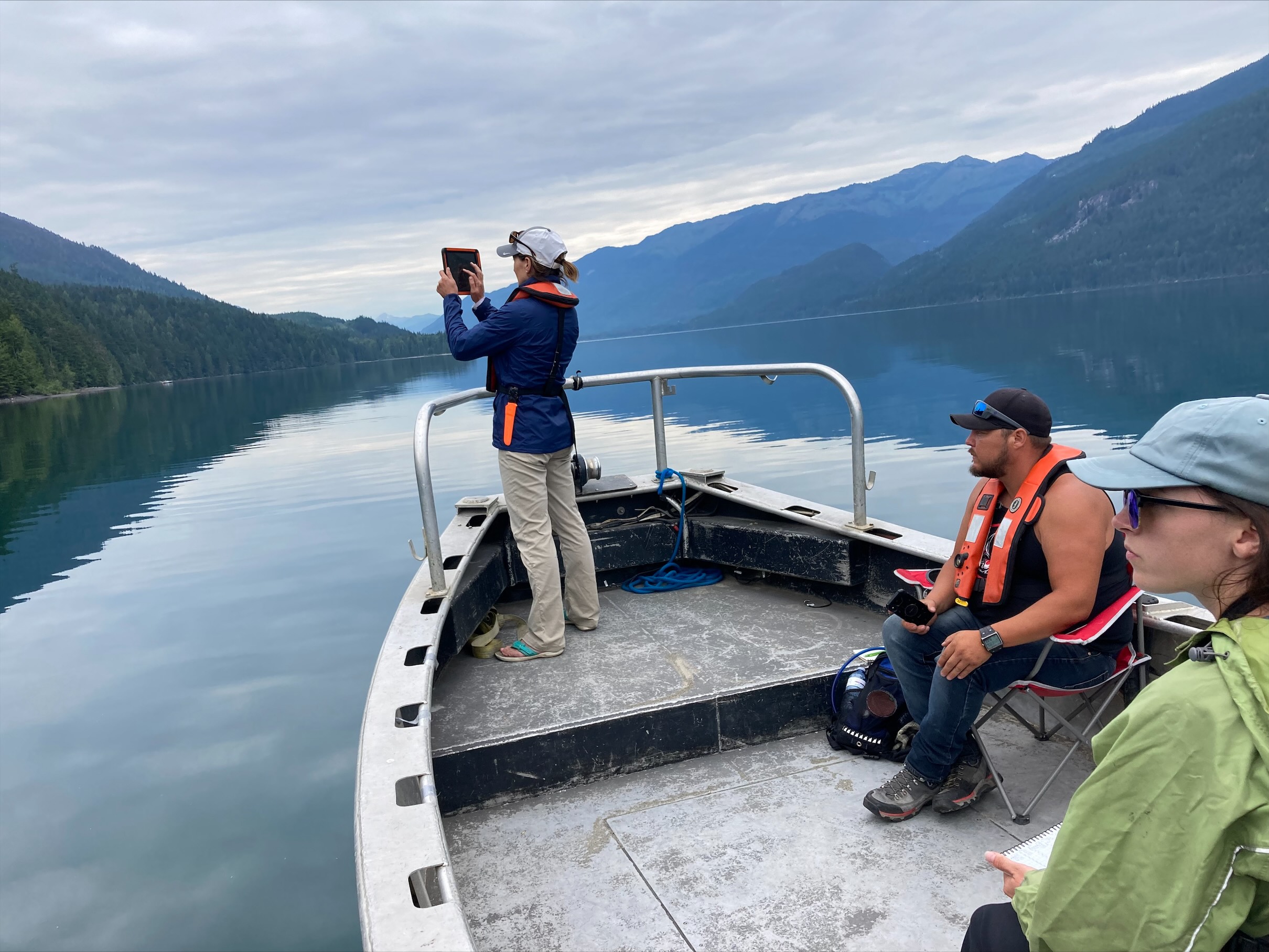
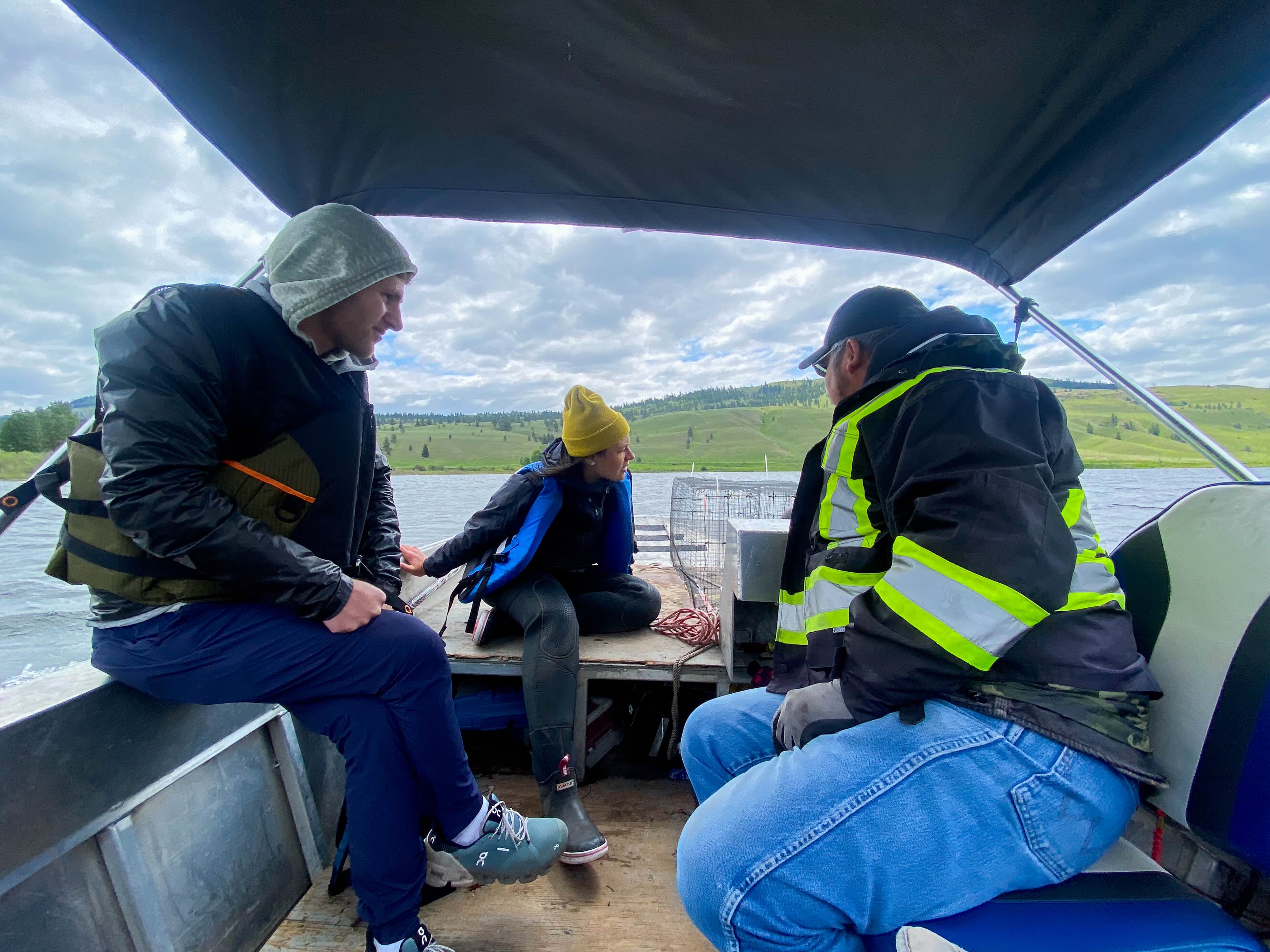
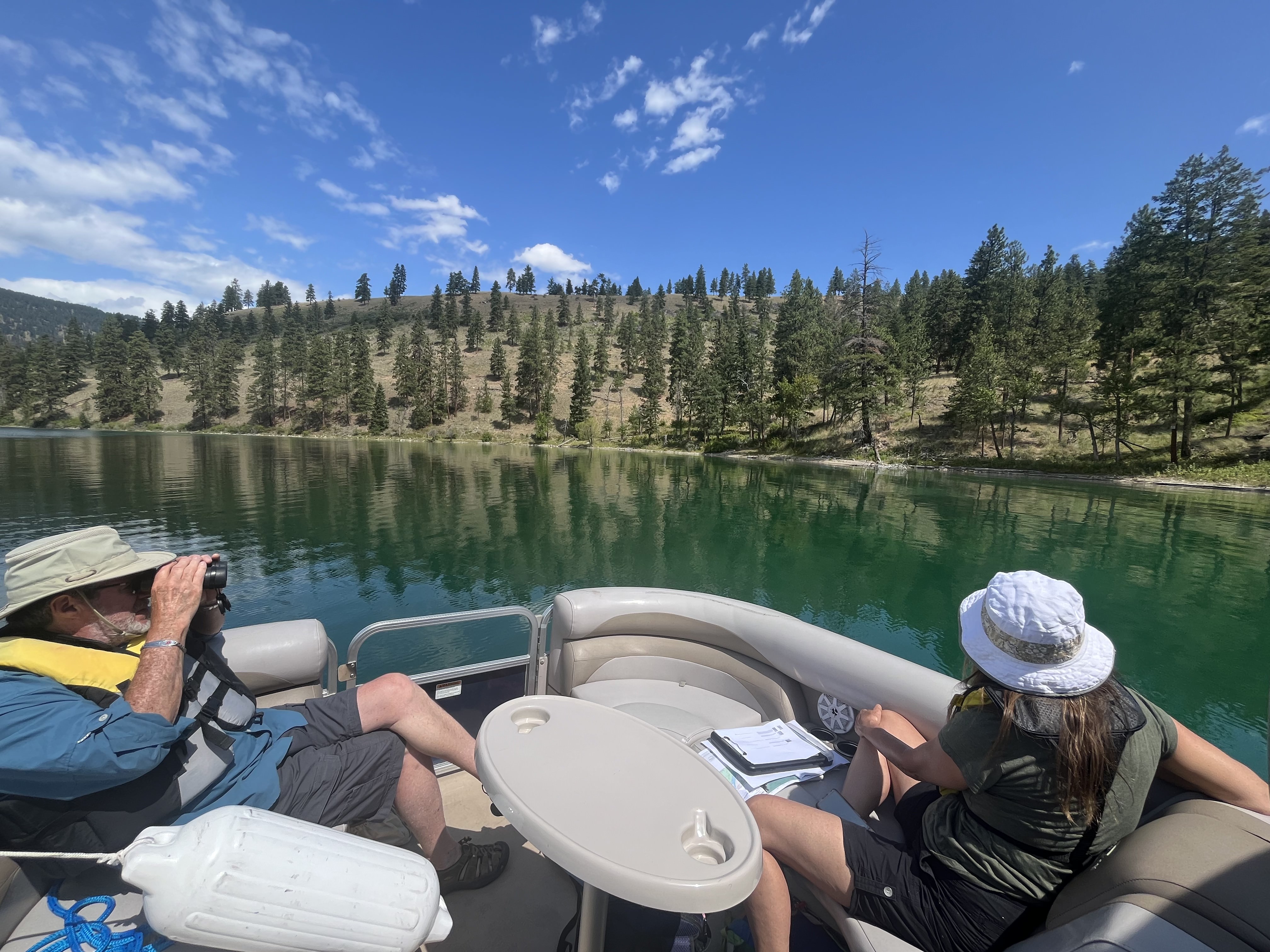
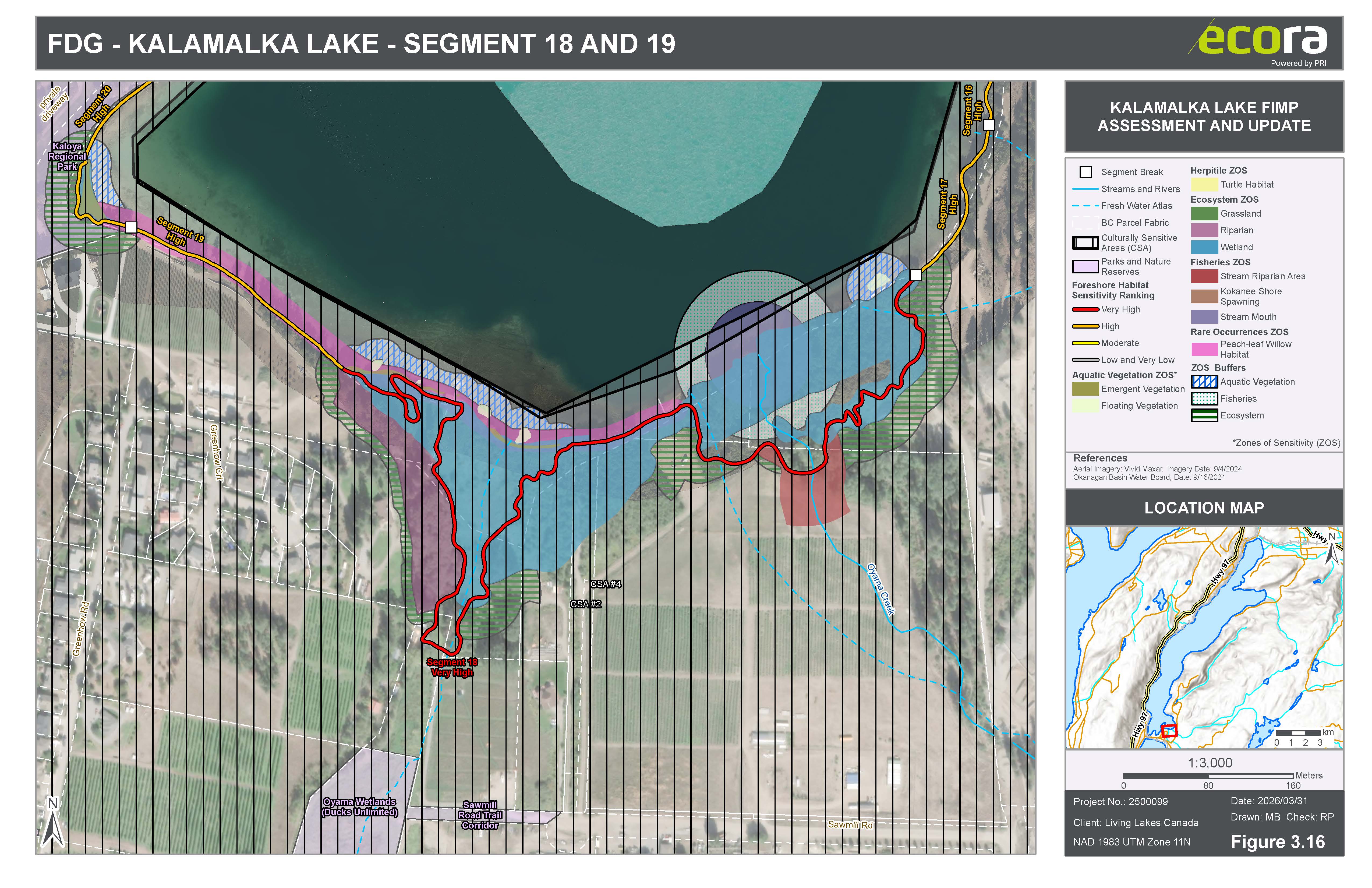
In the field, FIMP is carried out through hands-on, in-person assessments to collect biophysical data (including native plants, fish habitats, and shoreline modifications like docks and retaining walls) alongside drone-based videography that captures high-resolution imagery of the shoreline. By blending Western science with local Indigenous knowledge and values, we translate this information into technical reports, colour-coded habitat sensitivity maps, and practical development guidelines.
These guidelines are designed to be integrated directly into local land use planning and policy, helping decision-makers determine where it is safe to build and where nature needs to be protected. Ultimately, keeping shorelines healthy is what filters our drinking water, preserves biodiversity, and shields communities from flooding, turning field research into real, long-term protection for the freshwater ecosystems we all depend on.
Living Lakes Canada has completed shoreline surveys of 19 lakes in the last 20 years. The survey reports help various levels of government and rightsholders make informed decisions about land-use planning. These decisions impact the health of shorelines. Surveys repeated after a decade or so track whether shorelines are getting healthier or if they’re degrading in quality.
How does Living Lakes Canada integrate Indigenous leadership into shoreline surveys?
Living Lakes Canada looks to our Indigenous partners — whose values and knowledge of water and the interconnection between land and species have formed over generations of symbiotic living — to help guide the current FIMP surveys. Developed in 2021, the FIMP Indigenous Knowledge and Values Framework provides practical, actionable direction to structure this process.
CURRENT PROJECTS
Lac La Biche shoreline survey
Alberta’s seventh-largest lake provides significant ecological, cultural, social and economic value to the region, including clean water, abundant fish populations and natural shorelines for recreation. But growing development and environmental pressures are threatening the health and long-term resilience of Lac La Biche’s shoreline.
This is why Living Lakes Canada and local partners will conduct a shoreline survey in the summer of 2026 as a follow-up to the original survey done in 2017. We will reassess shoreline conditions, identify priority habitats and restoration areas, and support sustainable shoreline management through science-based planning and development recommendations, habitat restoration and long-term community stewardship.
The shoreline data collected will be compiled in a report that will be released in spring 2027. Based on the survey findings, foreshore development guidelines will be developed and shared with local communities, First Nations, and local governments to support sustainable lake planning and decision-making.
The project is supported by a strong network of partners, including Lac La Biche County, Healthy Waters Lac La Biche, Alberta Lake Management Society (ALMS), the Athabasca Watershed Council, the North Saskatchewan Watershed Alliance, and Portage College.
This project is being undertaken with the financial support of Lac La Biche County, Alberta Conservation Association, Alberta Innovates, and Enbridge.
You can view a media release on the shoreline survey here.
COMPLETED PROJECTS
Wood and Kalamalka Lakes FIMP 2026
Francois Lake FIMP 2026
Douglas Lake FIMP 2025
Fraser Lake re-FIMP 2023
Nicola Lake re-FIMP 2023
Upper Columbia Basin FIMP for Aquatic Species at Risk 2019-2023
MORE BACKGROUND
FIMP has been applied to numerous lakes across the Columbia Basin since 2006:
- 2022 Arrow Lakes
- 2022 Trout Lake
- 2022 St Mary Lake
- 2021 Columbia Lake
- 2021 Kootenay Lake
- 2020 Lake Windermere
- 2020 Moyie Lake
- 2020 Slocan Lake
- 2020 Whitetail Lake
- 2020 Whiteswan Lake
- 2017 Brilliant Headpond
- 2016 Lake Koocanusa (transboundary reservoir)
- 2012 Tie Lake
- 2010 Jimsmith Lake
- 2010 Rosen Lake
- 2010 Wasa Lake
- 2009 Monroe Lake
You can access the lake reports for all the above-listed lakes on the Columbia Basin Water Hub.
Living Lakes Canada has also expanded FIMP work beyond British Columbia, leading projects for Lac la Biche in Alberta and the South Basin of Lake Winnipeg.
CONTACT
If you would like to learn more about this program contact us at fimp@livinglakescanada.ca.

News and Updates
Why Lac La Biche’s shoreline is getting a health checkup – CBC News, Oct 1, 2026
Phased project, surveying to determine overall health of Okanagan Lake, shorelines – Revelstoke Review, Sept 23 2026
Researchers examine Okanagan Lake shoreline following summer wildfires – Castanet, Sept 23 2026
Natural shorelines going in opposite directions for 2 Okanagan lakes – Kelowna Capital News, Jun 19 2026
François Lake shoreline still in good condition, but requires protection – Prince George Daily News, Jun 19 2026
Summer survey will assess the health of Lac La Biche’s shoreline – Living Lakes Canada, Jun 17 2026
Resources
- Foreshore Integrated Management Planning for Aquatic Species at Risk in the Upper Columbia Basin 2019-2023
- FIMP Indigenous Knowledge and Values Framework Final Report 2023
- CBWM Film Series: Foreshore Integrated Management Planning
- All FIMP Reports & Foreshore Development Guidelines - Columbia Basin Water Hub
- Drone Use with FIMP Handout
- Community-based water monitoring: data use cases in British Columbia to support planning and decision making
- Foreshore Integrated Management Planning Methods: Foreshore Inventory and Mapping Foreshore Habitat Sensitivity Index Foreshore Development Guide (2021)
Funders & Contributors
 |
 |
 |
 |
 |
 |
 |
 |
 |
 |
 |
 |
 |
 |
 |
 |
 |
 |
 |
 |
 |