

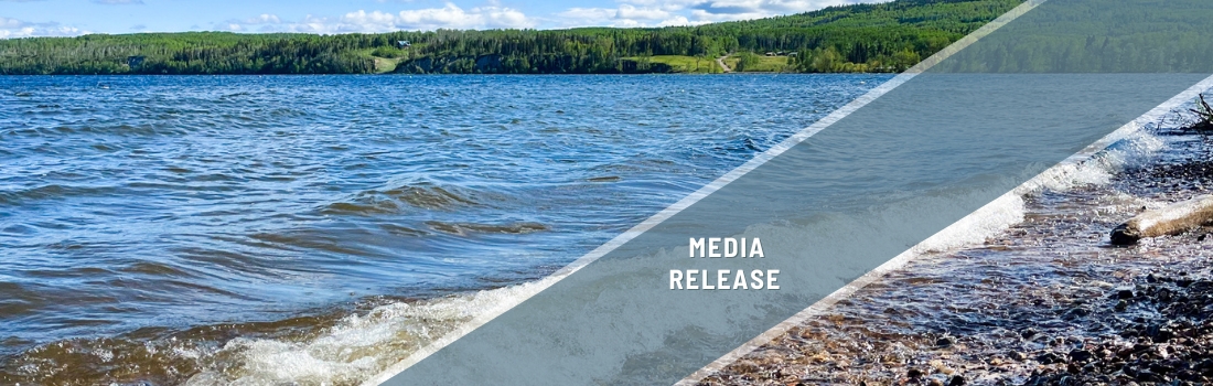
Summer survey will assess the health of Francois Lake’s shoreline
In B.C.’s Interior lies the second longest natural lake in the province after Babine Lake. Stretching 110 kilometres, Francois Lake provides vital habitat for freshwater species such as Lake Trout, Rainbow Trout, Dolly Varden, and Kokanee Salmon. It also plays an important role in supporting the at-risk Nechako White Sturgeon, and critical rearing and migration habitat for Sockeye Salmon.
Yet various impacts threaten the health of Francois Lake’s shoreline and its cultural, economic, and recreational values. This summer, Living Lakes Canada and local community partners will conduct a lake survey that will help identify important shoreline areas and track natural and human impacts to better protect the sensitive shores of Francois Lake.
“The implementation of Foreshore Integrated Management Planning, or FIMP, has many tangible benefits to the local communities that depend on healthy waters and shorelines,” said Georgia Peck, FIMP Program Manager with Living Lakes. “This approach has been successfully applied to 10 lakes in the B.C. Columbia Basin, and has grown to Okanagan Lakes and now, Fraser and Francois Lakes.”
This work will build off of the 2023 Fraser Lake FIMP re-survey, which found significant habitat loss and shoreline disruptions, highlighting the need for further FIMP assessments in the region.

A diverse Steering Committee has been formed to help lead this project, which includes representatives from Fraser Basin Council-Nechako Watershed Roundtable, Ts’il Kaz Koh First Nation, Nechako Environment and Water Stewardship Society, BC Parks, and the Bulkley-Nechako Regional District.
“Living Lakes Canada is a true partner of the Nechako Watershed Roundtable (NWR), actively engaging in watershed activities and connecting with residents,” said Tasha Peterson, Regional Program Lead, Northern Interior Region, Fraser Basin Council. “The information gained through the FIMP process supports the implementation of the NWR’s Large Lakes Monitoring Strategy, giving us a better understanding of impacts to individual lakes, the watershed as a whole and the actions that communities can take to support sustainability.”

As part of the survey, drone imagery will be captured along the Francois Lake shoreline. Residents and visitors may see or hear drones in use during the summer. The drone surveys will be used to assess land use, shoreline condition, vegetation, streams, and human-made structures, and help detect changes caused by development or natural disturbances.
All drone operations will strictly follow federal regulations, the Government of Canada’s drone operator guidelines, and the Personal Information Protection Act (PIPA). Drones will be flown at heights that prevent identification of individuals, faces, names, or licence plates.
The shoreline data collected will be compiled in a report set to be released in Spring 2026. Based on the survey findings, Foreshore Development Guidelines will be developed and shared with local communities, First Nations, and local governments to support sustainable lake planning and decision making.
Learn more about the Foreshore Integrated Management Planning program: www.livinglakescanada.ca/fimp


