Summer groundwater monitoring shows water levels are lower in some aquifers compared to last July

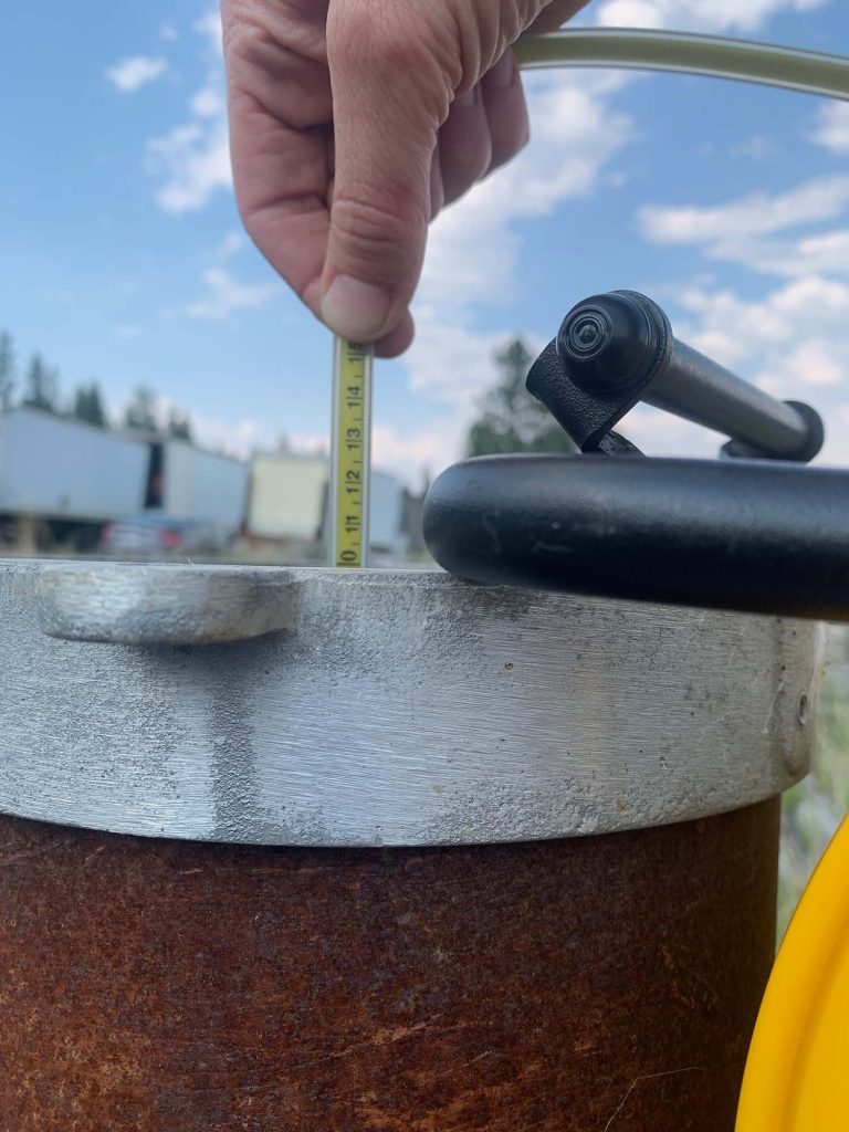
Using a water level tape to collect manual water level measurements in Cranbrook. LLC Photo
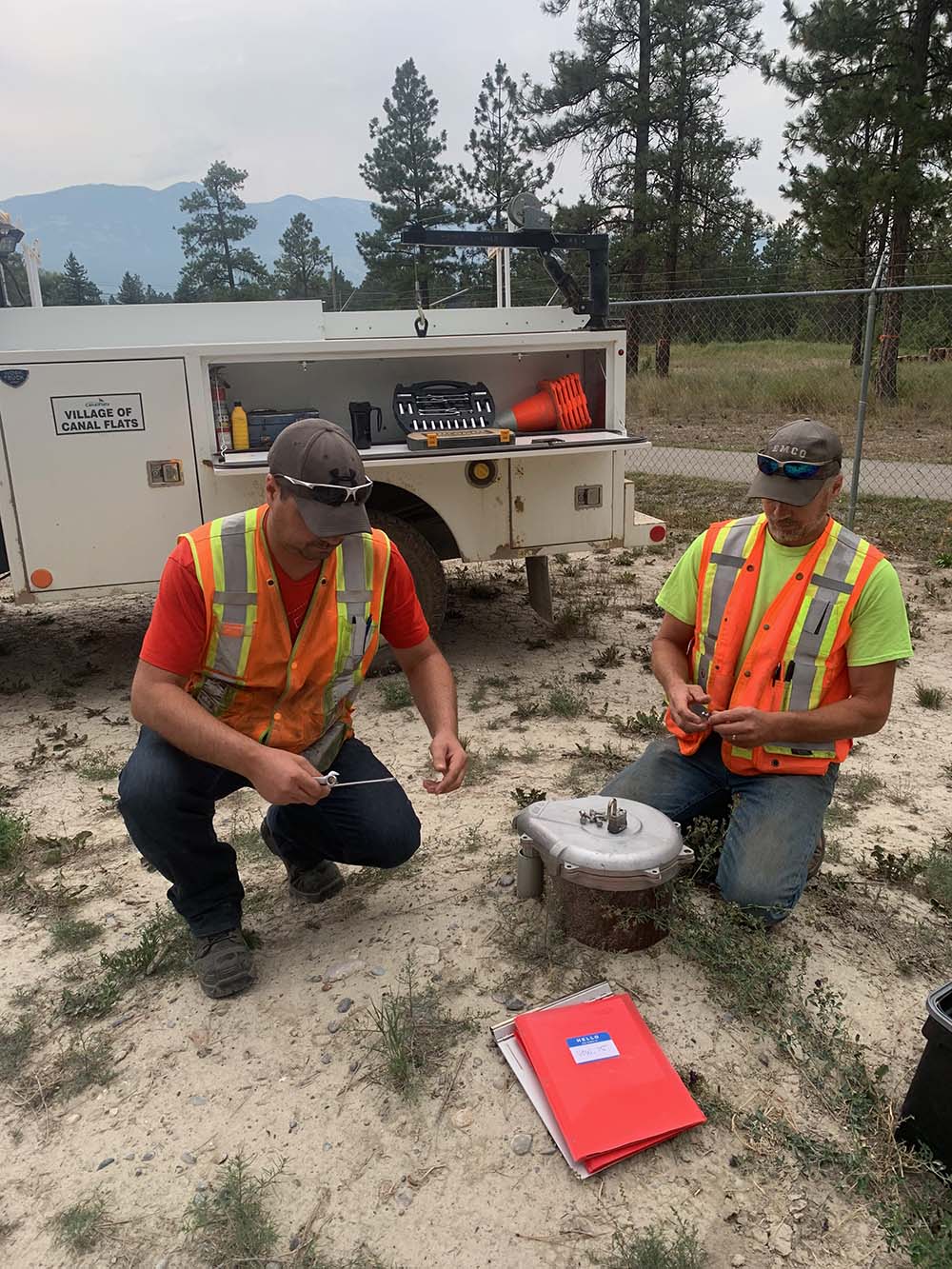
Living Lakes Canada’s Groundwater Monitoring Program recently completed summer site visits to most of its 22 Volunteer Observation Wells in the Columbia Basin. During site visits the most recent water level measurements were downloaded.
This summer we noticed that some aquifers we are monitoring had lower water levels compared to last summer. For example, water levels in the following aquifers that we are monitoring are lower this July compared to last July, respectively:
- Cranbrook: lower by approximately 0.8 metres
- Shoreacres (Playmor Junction): lower by approximately 1.0 metres
- Windermere: lower by approximately 0.75 metres
Water-level measurements from observation wells are the principal source of information about the recharge, storage, and discharge of water in aquifers. An aquifer is a geological formation or underground layer of rock, gravel, sand or silt that yield groundwater to wells. Water levels in aquifers typically change throughout the year in response to short-term and long-term changes in climate, ground-water withdrawal, and land use.
Read our Media Release below:
Graphs of water levels for all of the aquifers we are monitoring for which we have more than one year of data can be found in the Memo below.
Longer data sets and additional analyses are needed to determine if the changes are associated with drought conditions or if they are within natural variations from year to year. Changes in water levels can occur due to changes in weather cycles and precipitation patterns, streamflow, increases in water use, or changes in surface cover (e.g. an increase impervious surfaces on the landscape).
Even though cooler temperatures and rain have arrived recently, the Provincial Government reports that water supply security, drought and water scarcity remain an issue for most of the southern half of British Columbia and recommends to continue to conserve both groundwater and surface water. In many cases groundwater is connected to surface waters, and withdrawing groundwater may lower levels in neighbouring streams, potentially impacting ecosystems or other water users. More information on drought can be found on the Provincial Government’s Drought Information Page and the Drought Information Portal.
We will be updating the groundwater level graphs again in November. The data will be available on the Columbia Basin Water Hub and the BC Real-time Water Data Tool.
Many thanks to the well owners who have volunteered their wells for monitoring!


