

Columbia Basin groundwater data now available in report form and online
We are excited to announce that the data are now available on the Columbia Basin Water Hub as well as the BC Real-time Water Data Tool. The data collected to date are also summarized in a recently published technical report. The report provides information on the wells and the aquifers they are monitoring, as well as a summary of the data collected to date.

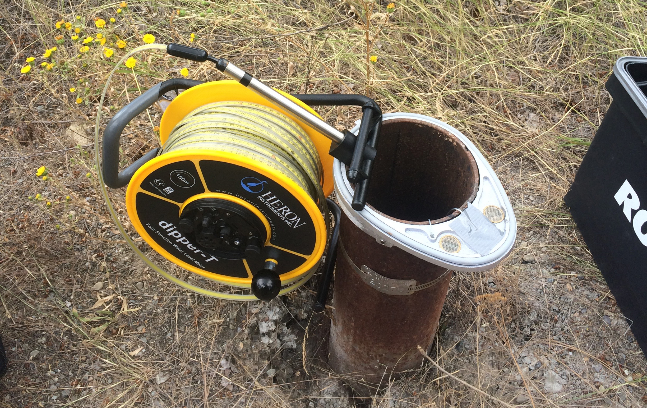
A water level tape is used to collect a manual water level measurement in a Volunteer Observation Well during a site visit. The manual measurements are used to calibrate the water sensors which are installed in the wells and collect continuous (hourly) measurements throughout the year.
The Program is now monitoring groundwater levels in 20 wells throughout the Upper Columbia Basin. These wells represent a variety of groundwater conditions. For example some wells are in sand and gravel while others are in bedrock. The data show that water levels in some wells are highest in May and June, indicating that these areas are likely recharged through snow melt and precipitation and will show relatively quick responses to changes in timing, amounts, and types of precipitation. Other wells show peak water levels occurring later in the year, likely reflecting slower times to recharge because of overlying confining layers that are less permeable and because the recharge zones for these wells may be further away.
Some of the wells being monitored are in aquifers linked to rivers and streams and therefore water levels are likely to rise and fall in association with stream water levels. For example, peak water levels in these aquifers occur in the spring at similar times to the freshet (when stream levels are high due to snowmelt and runoff). Additional peaks in groundwater levels in these aquifers have been observed in the winter, likely associated with winter precipitation and snow melt, or variable stream conditions such as ice up/break up throughout the winter. These aquifers are likely to respond quickly to changes in the timing and amounts of precipitation that are occurring with changing climate.
Collectively, the data collected to date demonstrate that water level responses in aquifers being monitored are dependent on the varied conditions across the Columbia Basin. In general, the aquifers in the Basin are small and fragmented and the water level response for each aquifer is dependent on the local geology, topography, land cover, water use, and climatic conditions. While seasonal trends in water levels are similar for different aquifer types in the Basin (e.g. confined, unconfined, connected/not connected to streams), monitoring individual aquifers provides the most accurate site-specific information that incorporates all of the factors that affect groundwater levels.
To learn more, visit the Program page.
If you have any questions or are a well owner and are interested in volunteering your well for the program, contact Program Manager Carol Luttmer at groundwater@livinglakescanada.ca.


