

Columbia Basin snow surveys helping fill water data gaps
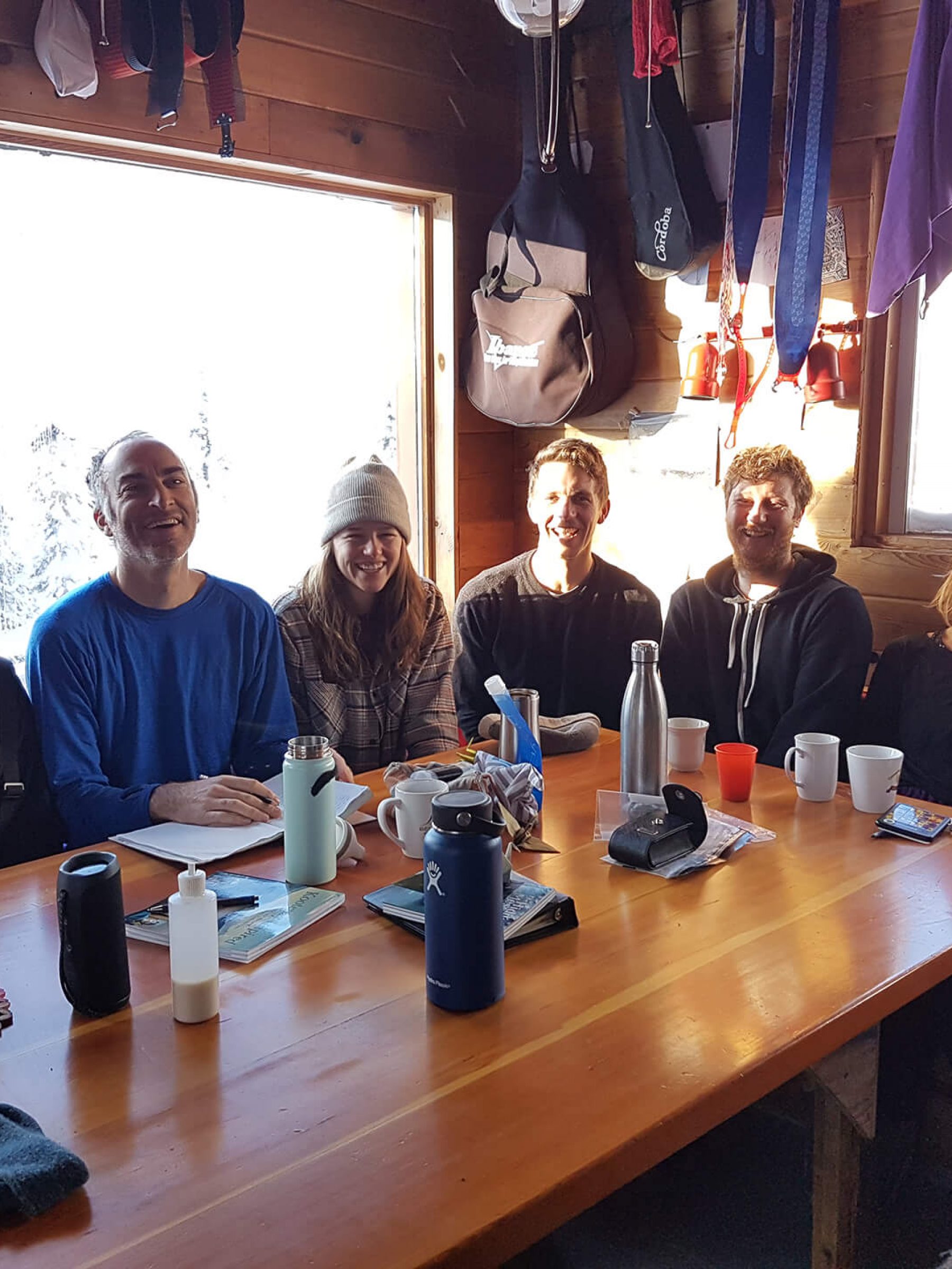
On January 28 and 29, members of the Living Lakes Canada (LLC) team gathered in Nelson, BC, where our head office is located, for a two-day strategic planning meeting. The goal of this meeting was to collectively work on our organization’s direction for the next three years, and ensure all projects align with LLC’s vision and values.
The gathering also presented the opportunity for several members to get involved in one of our on-the-ground partner projects in the Canadian Columbia Basin.
The North Kootenay Lake Water Monitoring Project (NKLWMP) is working to improve understanding and prediction of how small- and medium-sized watersheds in the B.C.’s West Kootenay are going to behave in a changing climate, especially in conditions of extreme high and low precipitation.
Under the umbrella of NKLWMP’s snow monitoring program, LLC members joined NKLWMP in conducting snow surveys during a backcountry trip to Lost Ledge Cabin following the strategic planning meeting. NKLWMP has been conducting snow surveys for the past four years and there are 10 survey sites within close proximity to Lost Ledge Cabin.
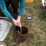
The surveys involved removing core snow samples, measuring the height of snow in the tube and weight, and therefore determining the volume of water. LLC team members developed skills in conducting monitoring while also enjoying a couple of backcountry skiing adventures!
LLC and NKLWMP would like to thank members of the Lost Ledge Cabin who provided them with cabin access, great stories and a beautiful place to stay while positively contributing to the conservation of one of our most valuable resources.
BACKGROUND:
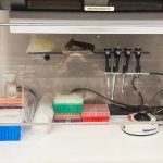
A 2017 Columbia Basin Trust report identified significant water data gaps in the Canadian Columbia Basin, including that from snow and glaciers, small watersheds, high-elevation streams, wetlands, and groundwater. Information gathered through snow surveys such as these provide increased data on water availability within the Basin. This information can then be used to assist in developing management plans and making informed decisions surrounding water use and flood mitigation measures downstream. Filling these gaps will help communities and water resource decision-makers better understand and adapt to changes in the quality and quantity of regional water supplies.


